A 10,000 Mile Trip from Lincoln, Nebraska to Alaska and Across the Arctic - Summer 2008
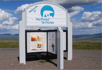
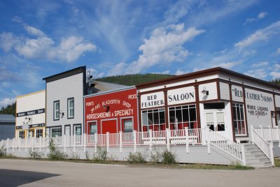
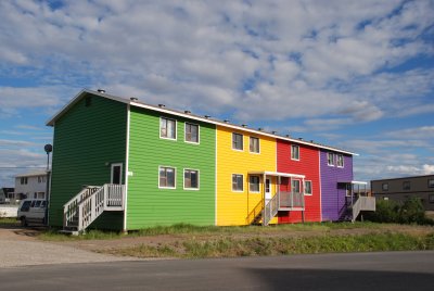
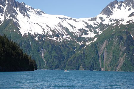
| During the Summer of 2008 a photographic journey was made,
by automobile from Lincoln to Alaska and the Arctic. There were
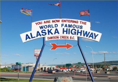
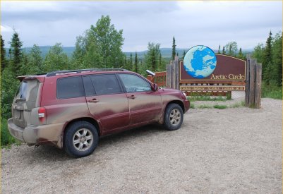
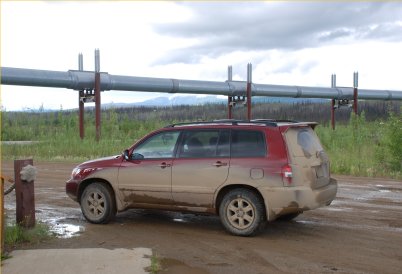
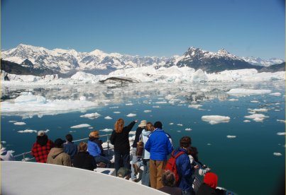
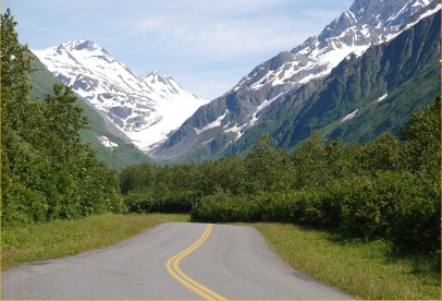
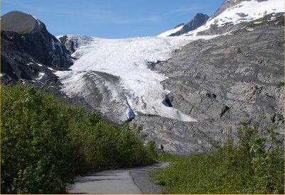
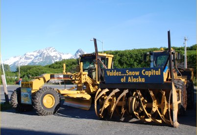
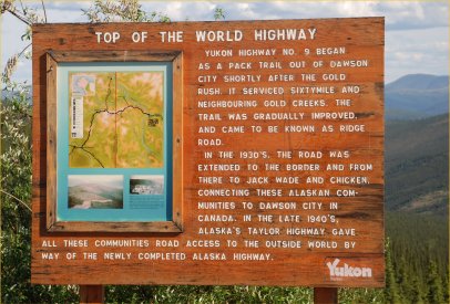
two purposes of this journey, 1) to capture the diversity of natural resources though photography and, 2) to document the impacts of global warming in the Arctic latitudes. The route consisted of travelling from Lincoln to Winnipeg, Manitoba and then along the Trans Canadian Highway to where it meets the Alaska Highway in British Columbia. The Alaska Highway was then used to reach Fairbanks, Alaska. Alaska was then explored along the Alaska Pipeline up across the Arctic Circle and then down to the Glacier fields near Valdez, Alaska. After leaving Alaska, the Yukon and Northwest Territories were then explored with several more trips north of the Arctic Circle with an eventual return trip to Lincoln back down to the Alaska Highway and the Trans Canadian Highway. The journey consisted of 5 weeks of travel and 10,000 miles on the road The following are the various photo galleries that were put together to illustrate some of the scenery and information about this spectacular part of North America. All Photos © K. Dewey, Applied Climate Sciences, School of Natural Resources, University of Nebraska, Lincoln. |