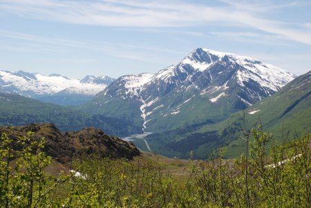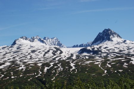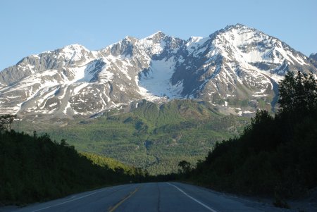
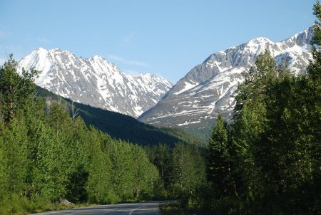
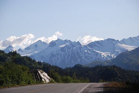
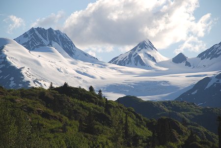
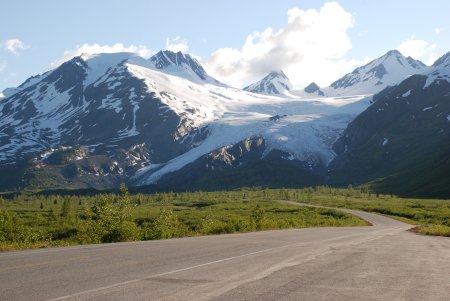
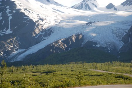
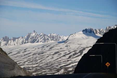
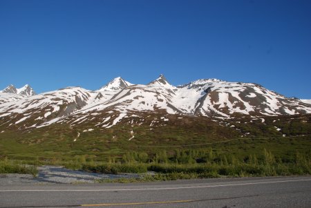
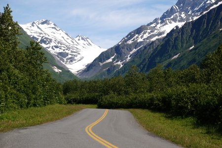
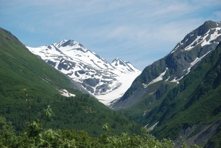
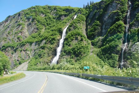
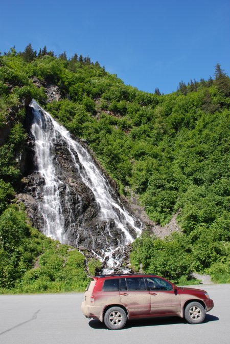
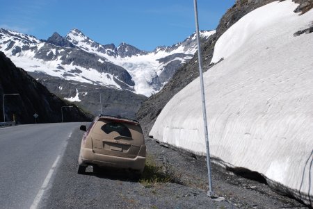
The Richardson Highway was Alaska’s first highway. It began as a pack trail in the late 1800’s with branches to Eagle and Fairbanks. The 364 miles of this paved highway constitute one of the state’s most scenic routes. Near Valdez, the highway winds along the turbulent Lowe River in Keystone Canyon. The sheer canyon walls contain countless waterfalls and interesting rock formations. Leaving the canyon the highway climbs to the Thompson Pass and Worthington Glacier.
Our Worthington Glacier photos: Worthington Glacier Photos
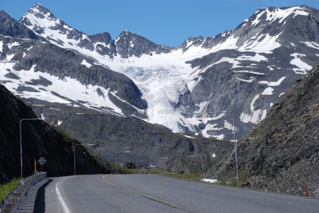
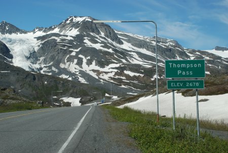
Thompson Pass, 26 miles north of Valdez, AK received an Alaska record snowfall of 974.5 inches during the winter of 1952-1953.
Thompson Pass recorded 62 inches of snowfall during one single 24 hour period in December, 1955. During February, 1953, Thompson Pass received a record 297.9 inches of snow (that's almost 25 feet of snow in just one month).
Valdez, Alaska holds the record for the most snowfall in an Alaska town, 556.7 inches (47 feet) during the 1989-90 Winter. Valdez is only 26 miles south of Thompson Pass and at sea level.