A Photo Tour of the Dalton Highway (Alaska Pipeline Road), June 29, 2008.
ALL Photos © K. Dewey, School of Natural Resources, Applied Climate Sciences, UNL.
ALL Photos © K. Dewey, School of Natural Resources, Applied Climate Sciences, UNL.
 |
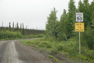 |
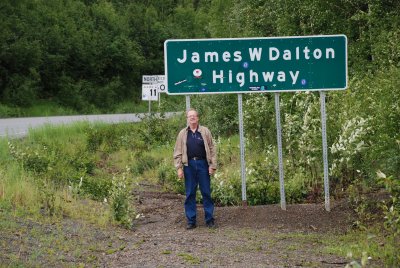
| The start of the Dalton Highway | The 416 mile Highway is also called "The Haul Road" |
 |
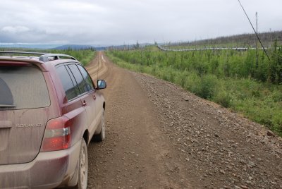 |
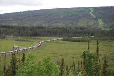
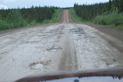
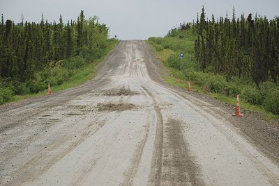
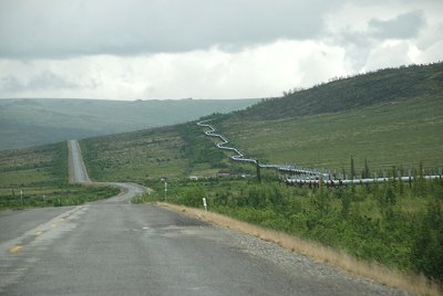
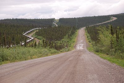
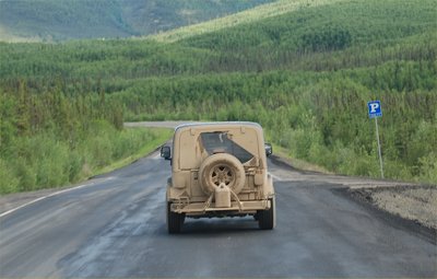
| The Alaska pipeline | The road is 25% paved, 75% sharp rock, gravel, & mud |
 |
 |
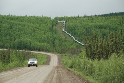
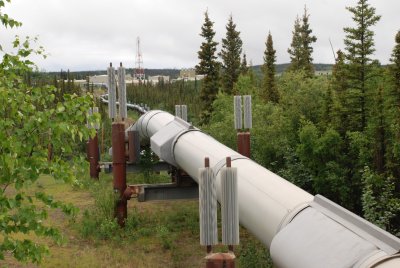
| The Alaska pipeline along the Dalton Highway | The Alaska pipeline |
 |
 |
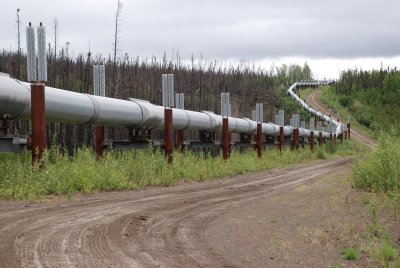
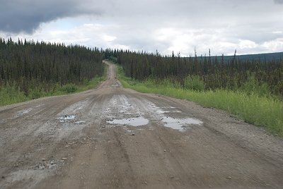
| The Alaska pipeline, maintenance access road | The Dalton highway with huge potholes and slippery mud |
 |
 |
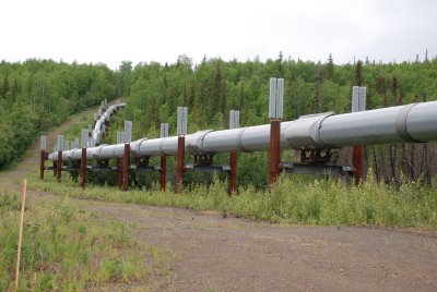
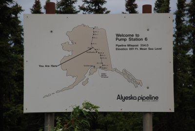
| at one of the pump stations | the vertical structures are baffles to release heat from the pipeline |
 |
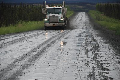 |
| Half way to the Arctic Circle, Yukon River Camp | Good news: no dust; bad news, very slippery and sloppy. |
 |
 |
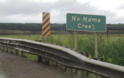
| But isn't this a name on the sign anyway? | The highway and pipeline wandering across the Arctic |
 |
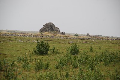 |
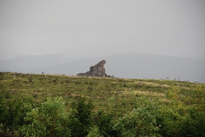
| A tor (isolated pinnacle
of granite jutting up from the Tundra) |
Another Tor |
 |
 |
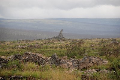
| Finger Rock, another Tor | The road was collapsing here from permafrost melting below |
 |
 |
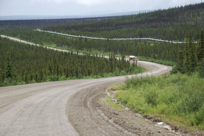
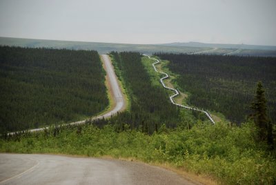
| Dalton Highway along
side the Alaska Pipeline. Click HERE for a larger version |
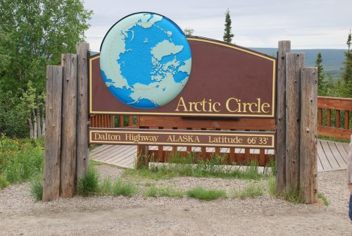
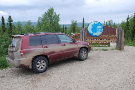
At the Arctic Circle, 3600 miles from Lincoln, NE !! |
 |
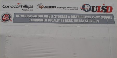 |
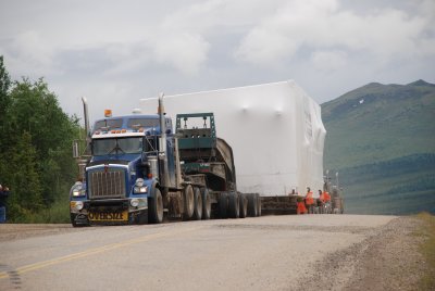
| Oversized load heading up to Prudhoe Bay | contents of the supply load |
 |
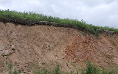 |
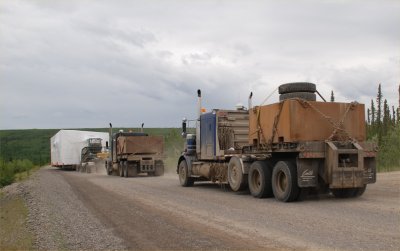
| the rest of the supply convoy. This road is busy with transportation of supplied all months of the year | Note the very shallow soil profile under the
Arctic Tundra vegetation. |
 |
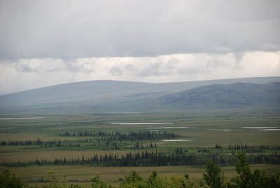 |
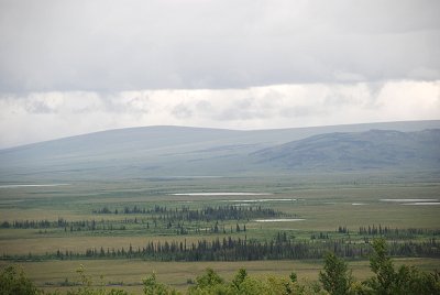
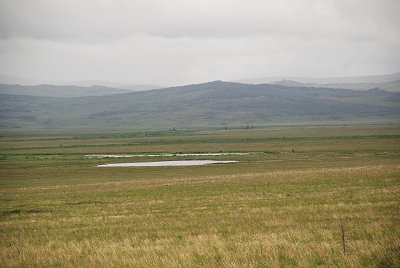
| CLIK HERE for a larger version of this image | Several "thaw lakes" on the Tundra. Thaw Lake information |
 |
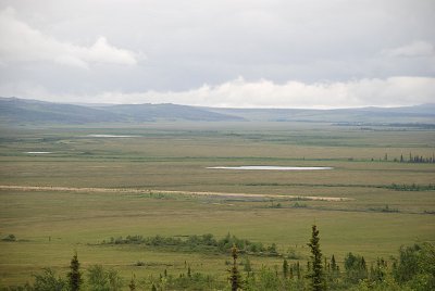 |
| Several "thaw lakes" on the Tundra | Several "thaw lakes" on the Tundra |
 |
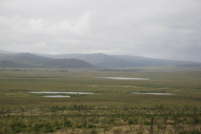 |
| Several "thaw lakes" on the Tundra | Several "thaw lakes" on the Tundra |
 |
 |
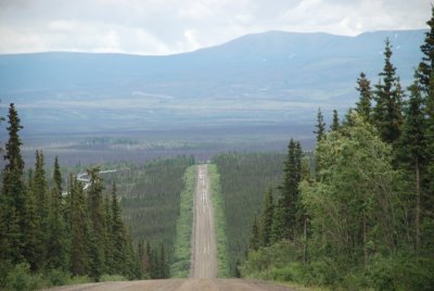
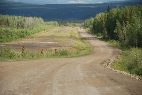
| The highway and pipeline stretch off into the distance | The highway and pipeline stretch off into the distance |
 |
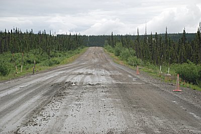 |
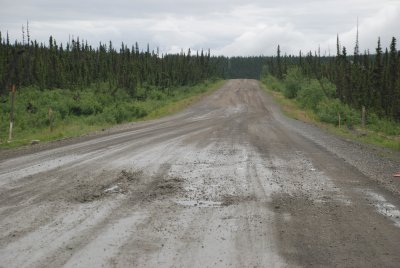
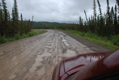
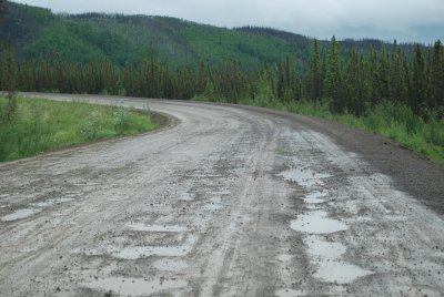
| More horrible road conditions following a shower | More horrible road conditions following a shower |
 |
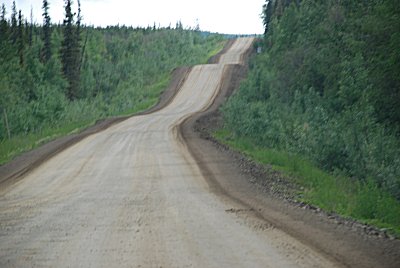 |
| More horrible road conditions following a brief rain | What a roller coaster highway |
 |
 |
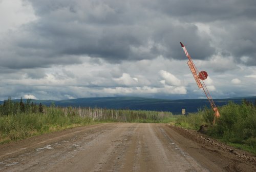
| This is an actual stop
sign that is activated if a plane is landing at this remote airstrip along the Dalton Highway |
This isolated, remote airstrip can be seen to the left of the highway above |
 |
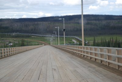 |
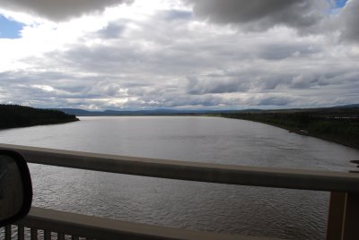
| The Yukon River | The wood plank Yukon River bridge |
 |
 |
| Driving this road requires tires that are in excellent condition | After driving the road, cars need to be power washed underneath |
 |
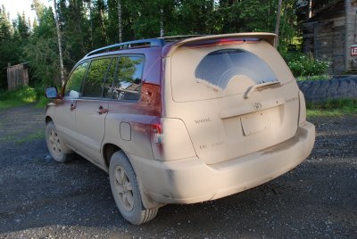 |
| At the southern end of the Dalton Highway, headed back to civilization | Our car is coated with a solid layer of mud |
| Dalton Highway Information (External Links): Bureau of Land Management Alaska Roads Fairbanks-Alaska.com |