 |
small funnels tried forming, but once again the shear seemed so strong that the thunderstorm was ripped apart. It also seemed that the storm was moisture starved |
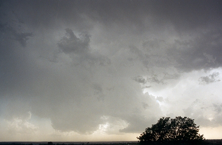 |
Dust was blowing all around us as noted by the brown haze near the surface. Only a few drops of rain fell from the storm and lightning would from time to time produce a spider web pattern at the base of the anvil behind us. |
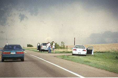 |
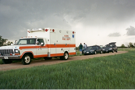
just east of North Platte and a tornado warning had been issued. As we drove north toward Interstate 80, the inflow was producing a dust storm and the dew point as measured on board one of our vehicles had dropped to 37 F. The storm was racing northward at 35 mph and we were, along with most chasers, not going to catch this one. |
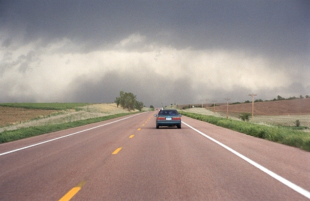 |
south of the warm front were starved for moisture and the dynamics were too strong, ripping apart the supercell structure. Those few who earlier went into the totally cloud covered region at and north of the warm front were able to intercept the tornado as it formed in northern Frontier county, crossed the Interstate and destroyed some homes in Maxwell, NE which is in Lincoln County. |
|
|
|
|
|