Satellite Image of the High Plains and Rocky Mountains
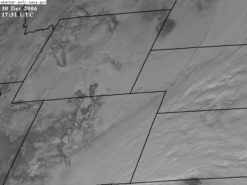
The back edge of the clouds associated with the large storm system moving up through the Plains can be seen
stretching from south central Colorado to north central Nebraska. The Nebraska Panhandle is snow covered.
The forested area of the Black Hills region of South Dakota is darker in color. The Rocky mountains stand out as
well in central Colorado with their snow-capped peaks. Western Colorado is snow free except for the
snow covered mountain peaks................................
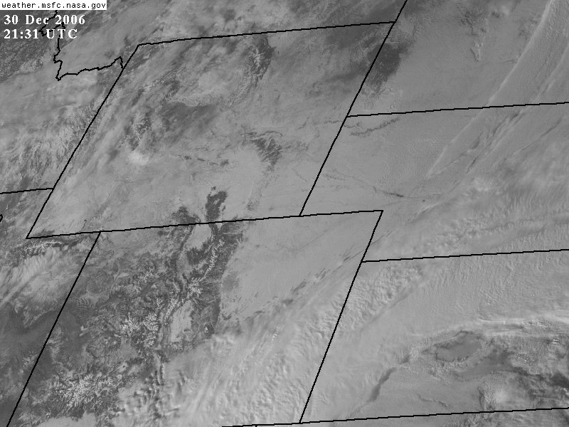
This image was taken 4 hours
after the top image.
Lake McConaughy can be see as
a dark water body surrounded by a snow cover in western nebraska.
The city of Denver, with its
plowed and bare streets (note photo below) appears as a gray area on this
image
due to less snow coverage compared
to the rural areas.
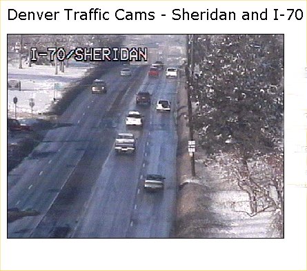
Denver traffic cam
at 3:03 PM MST, December 30, 2006.
Link
to live Denver traffic cams.
RETURN
mmmmmmmmmmmmmmmmm