June 13, 2001
Seward, NE

All of these pictures are 35 mm print photos taken by
NEVIT (Nebraska Vortex Intercept Team)
which were then digitally scanned.
Looking northwest as the tornado formed.  
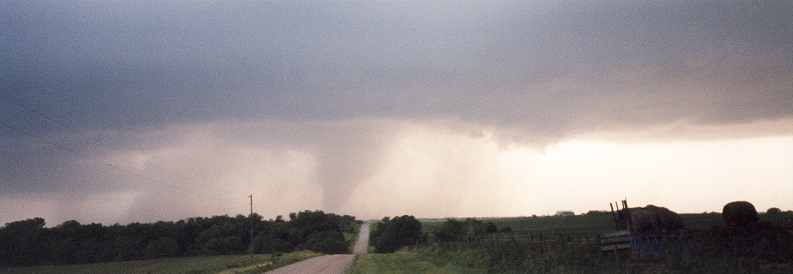
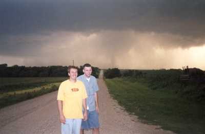
They were 4 miles east of Seward, NE.
The tornado is approaching Hwy. 34 which is 
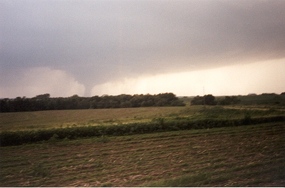
on the other side of the distant trees.
The tornado is now at maximum size and 
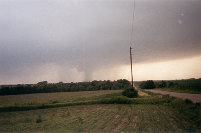
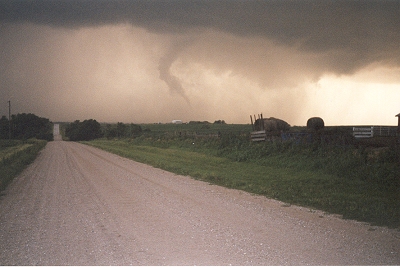
crossing the one farm house that it destroyed.
Brian Thalken and Jason Ehmke (right to left).  
The tornado is to the right of the road.
The tornado is now dissipating after reaching 
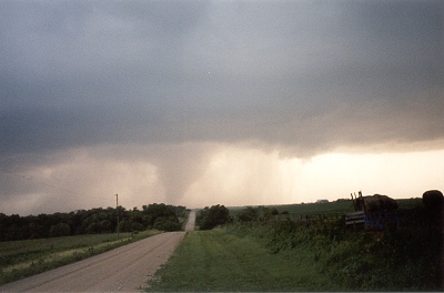
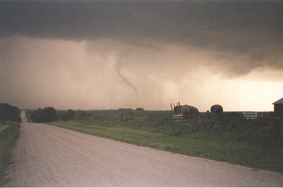
an F-4 magnitude (based on the NWS survey).
The tornado is now lifting from the ground 
and beginning to rope out after an 8-mile path.

Panoramic view of the tornado at mid-life and maximum size.
Some rain wrapping has begun to occur.


RETURN TO:   June 13, 2001 Tornadoes in Nebraska