Views Along the Central Platte River During a 4th Year
of No Flow During mid-Summer
Photo Tour conducted with assistance from the Nebraska Nature Conservancy
Images © Ken Dewey, SNR, UNL.
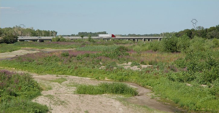
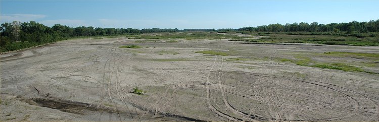
August
5, 2005: The Interstate 80 bridge across the Platte River.
Four
years ago it was just sand but vegetation has moved into the Platte channel.
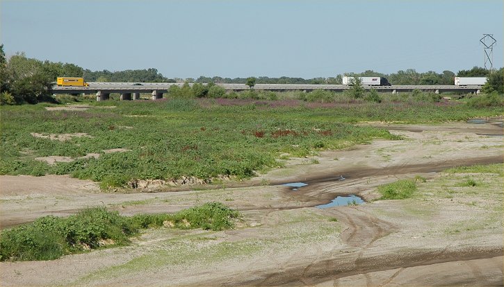
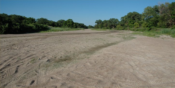
August
5, 2005: Similar view as above with the only evidence of
surface
water, a few very small pools of water.
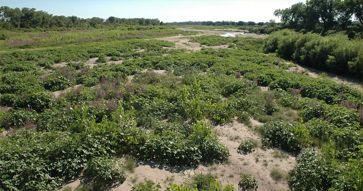
August
5, 2005: Looking West from the Locust Street bridge south of Grand Island.
The
Platte River valley looks more like pasture land than an active stream
bed.
August
5, 2005: Looking Northeast from the Nebraska Highway 34 bridge,
near
Grand Island, Nebraska.
August
5, 2005: Looking Southwest from the Nebraska Highway 34 bridge,
near
Grand Island, Nebraska.
August
5, 2005: Looking northeast in the middle of the Platte River channel
midway
between Grand Island and Central City, Nebraska.
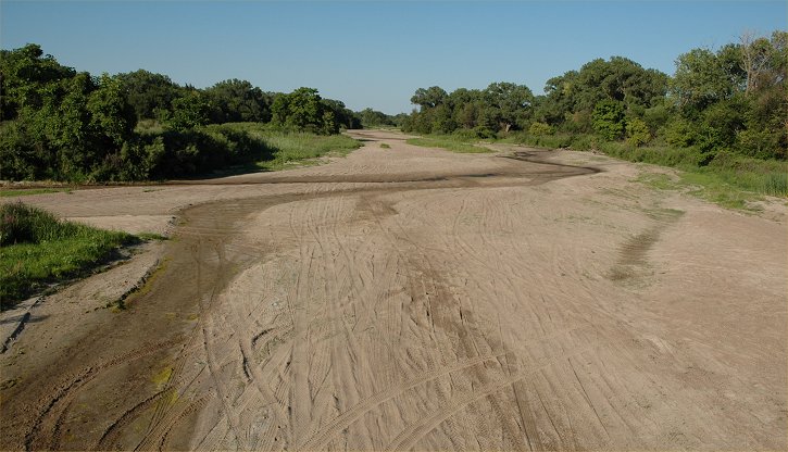
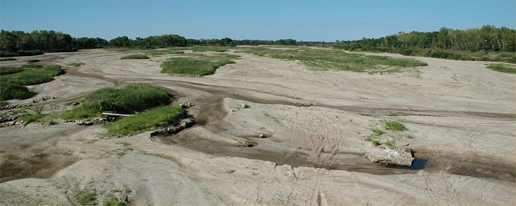
August
5, 2005: Looking east at the middle of the Platte River channel west of
Marquette, Nebraska.
Note
the darker and wet sand which is evidence of surface flow earlier in the
week.
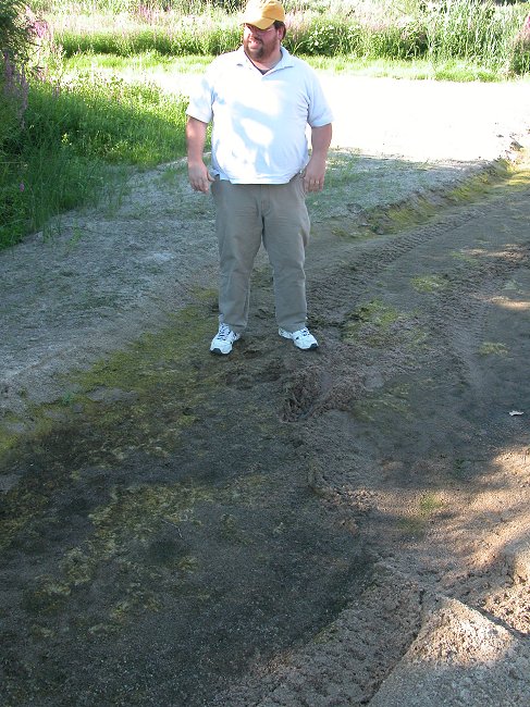
August
5, 2005: John Heaston of the
Nebraska
Nature Conservancy describes the many interactions that the
group
has working with land owners along the Platte River.
Return to: The Photo Gallery Index Page