Air Boat Tour 2005 - August 29, 2005
Photo Gallery 1 - all photos © Ken Dewey, SNR, UNL.
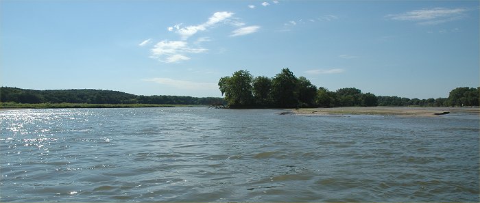
The tour started in Fremont and
went to near Schuyler, Nebraska.
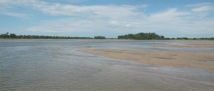
The flow in the Platte
river upstream from the confluence with the Loup River
was only 10 cfs on this day compared
to the 500-1200 cfs in the Platte below the Loup River.
 .
.
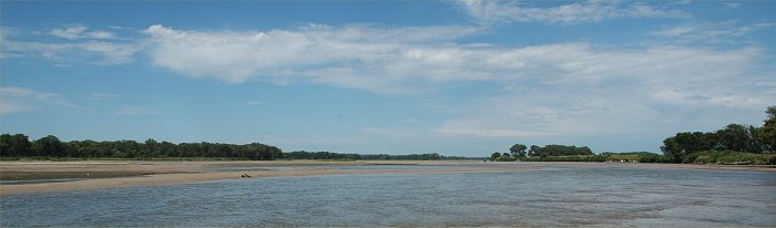
The flow along the Lower Platte
ranged from 1200 cfs to 500 cfs (cubic feet per second) with the peak flow
early in the day and the lowest
during the late afternoon.
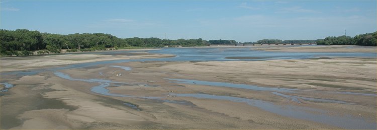
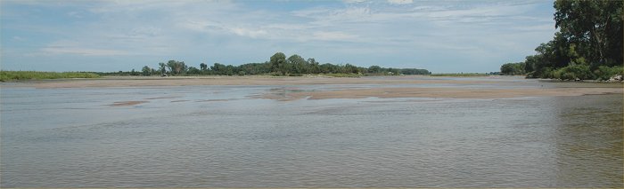
Looking east from the Highway
77 bridge at Fremont, NE. The river was at its lowest flow of the
day at this time (5 PM).
Almost all of the water coming
down the Lower Platte on this day was originating from the Loup River.
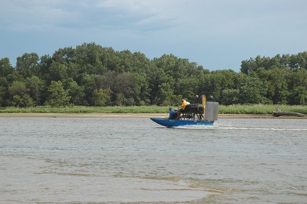
The flow is below normal again
this year, however there was still an adequate amount of
water for the tour using air
boats.