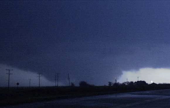
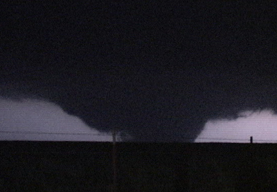
May 4, 2007 Greensburg, KS Tornado. Photo by Melanie Metz More photos of the tornado located below. |
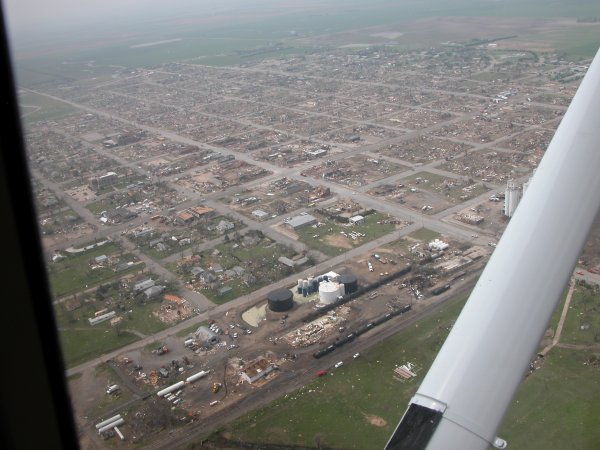
American Red Cross Aerial Photo of Greensburg, Kansas Click Here to See the Full Size Image. |
LINK
to the Greensburg, KS Newspaper for the latest news coverage
......
The
following day, May 5, 2007, saw an outbreak of tornadoes in Nebraska
LINK
to the May 5, 2007 Tornadoes in Nebraska, South Dakota and Iowa
|
May 4, 2007 Greensburg, KS Tornado. Photo by Melanie Metz More photos of the tornado located below. |
American Red Cross Aerial Photo of Greensburg, Kansas Click Here to See the Full Size Image. |
May 4, 2007 Greensburg, KS Tornado Damage Photos:
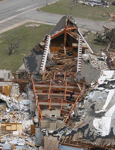 |
or on the photo to the left go to the Damage Photo Gallery |
 |
 |
May 4,
2007 Greensburg, KS Tornado. Photo by Van DeWald, NWS
Links to Greensburg,
KS Tornado Images:
Tower
of Storms
NEWS Stories
Greensburg's Famed Meteorite Found Under Rubble
Residents of Tornado Wracked Town Eye Future
Bush Gets First Hand Look at Tornado Damage
Greensburg Tornado, A Mission of Hope
Tornado Shatters Southwest Kansas
Statement from the White House
Damage
Paths of the Greensburg, KS and Nearby Tornadoes of May 4, 2007
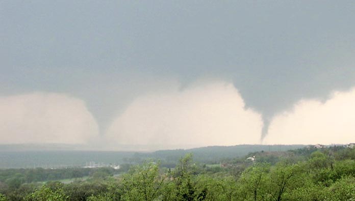
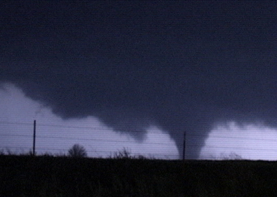
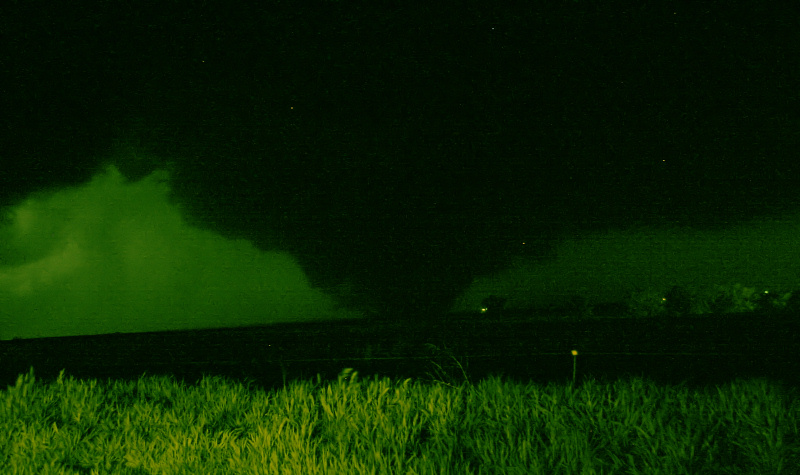
Looking south into Nebraska from
South Dakota at twin tornadoes on May 5, 2007.
Return to: The Photo Gallery Index Page