Target: Grand Island and north into the southern Sandhills.
It is called
"storm chasing" NOT "tornado chasing".
Tornadoes
only occur on about 14% of all storm chases.
All Photos © Ken Dewey, SNRR, UNL, unless otherwise noted.
Storms form over the southern
Sandhills regions of Nebraska.
There
are MORE photos following the maps.
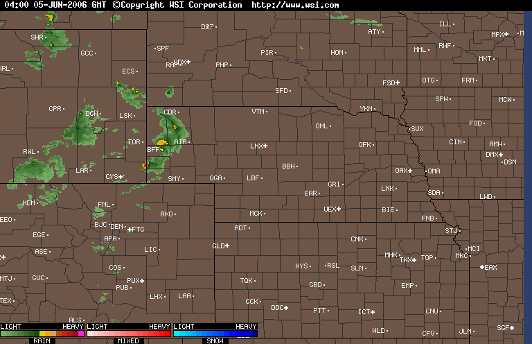
The following is a radar loop for the period 8 PM June 4 through 8 PM June 5.
Note the two sets of storms. The first set rolls through Nebraska early morning June 5 and the
chased storms appear at the end of the radar loop moving across the Sandhills in a disorganized narrow band.
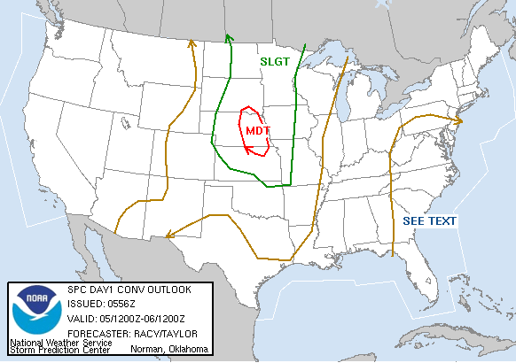
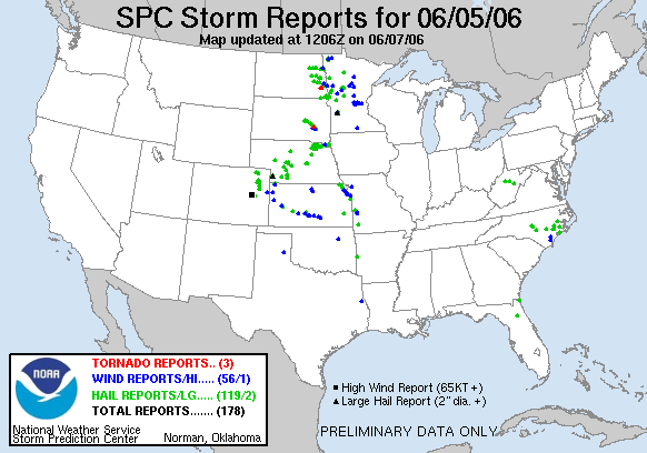
A MDT means a "Moderate Risk" was forecast
for eastern Nebraska.
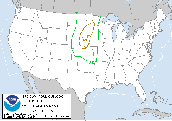
The probability
of a tornado, although small was centered over eastern Nebraska and South
Dakota.
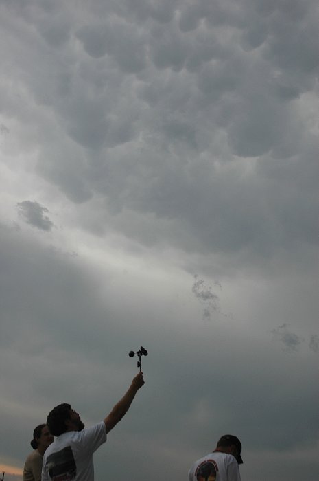
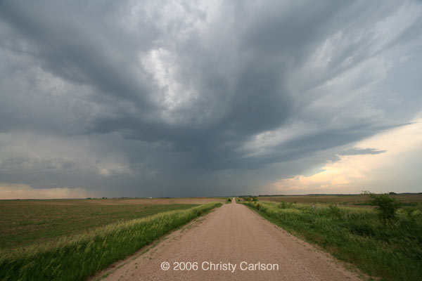
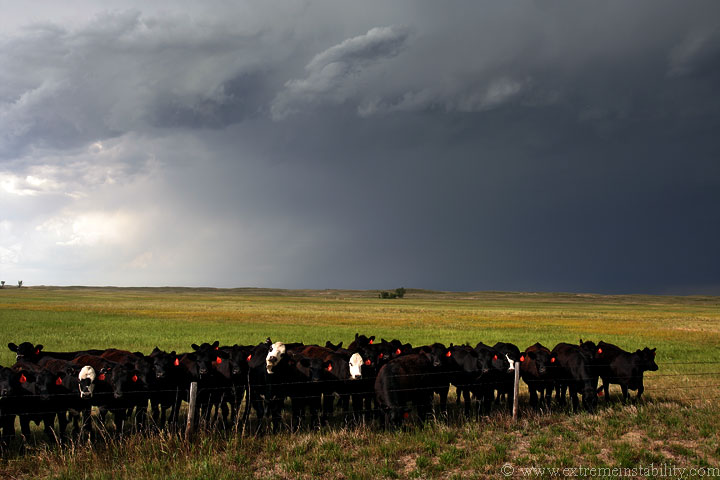
The storm intercept team takes some measurements
of the air flowing into the primary supercell storm.
Note the mammatocumulus clouds forming overhead.
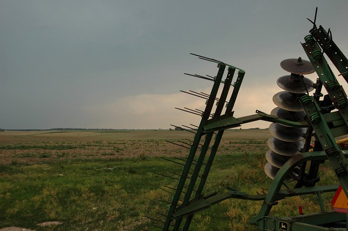
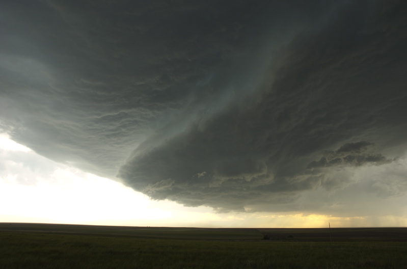
The lowering
base to the left would have been the location of a tornado had one occurred.
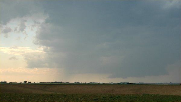
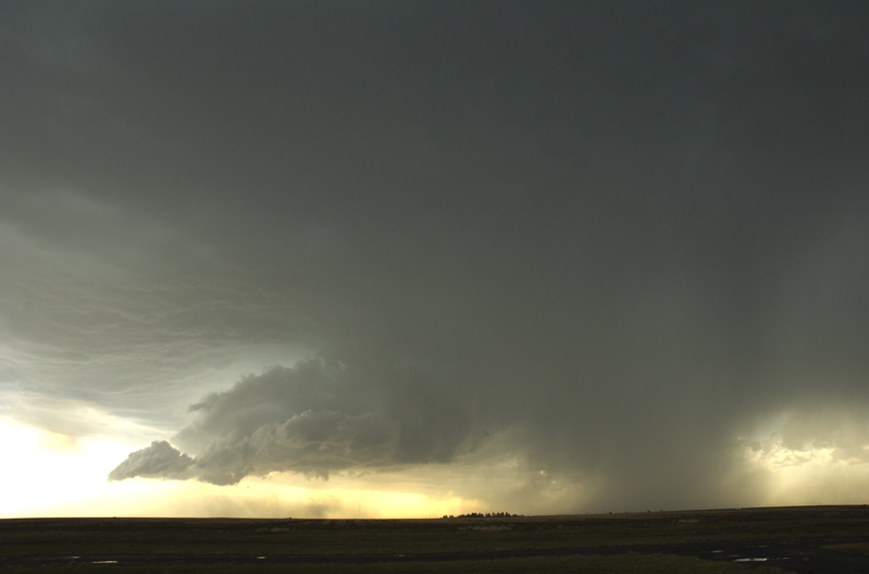
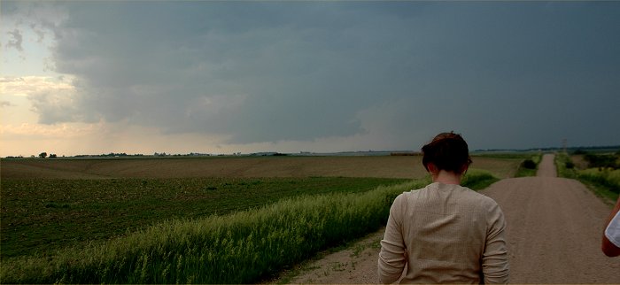
The lowering
wall cloud can be seen closer here.
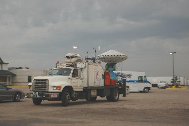
Also in
the area was the Doppler on Wheels ROTATE project run by Josh Wurman.
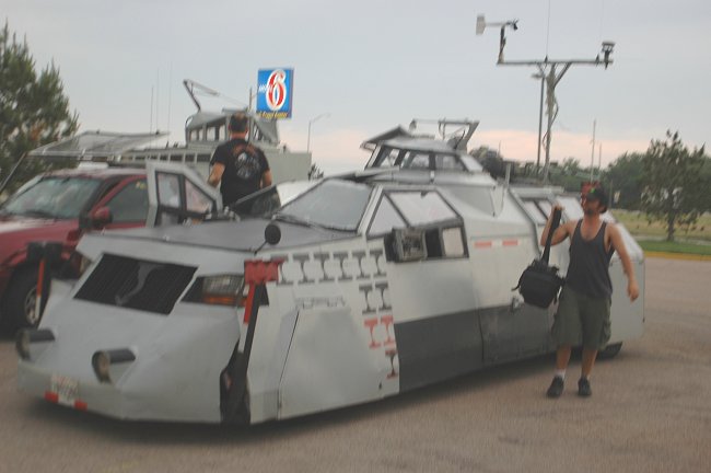
Traveling
with the DOW was the TIV (tornado Intercept Vehicle) and being filmed for
a storm
documentary
on the Discovery Channel
The Black
tornado symbols are tornadoes that have been photographed by the TIV and
the
red tornado
symbols indicate tornadoes that the TIV penetrated

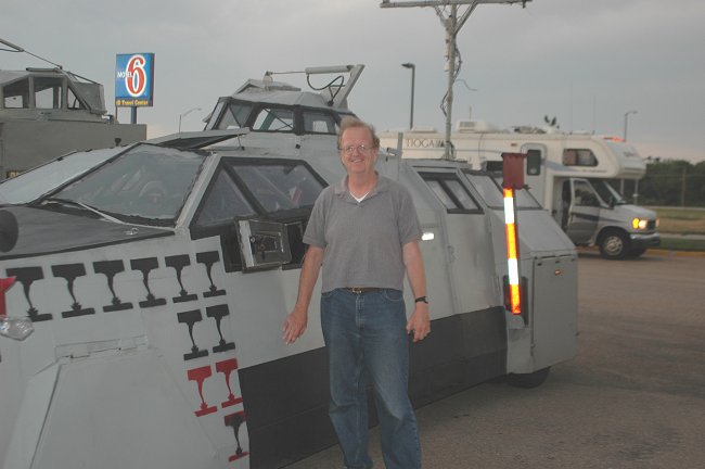
Josh Wurman
during an interview for the Discovery Channel describes the disappointing
day as
anticipated
storms fizzled by late afternoon.
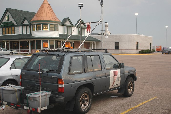
One of
the support vehicles for the ROTATE project.
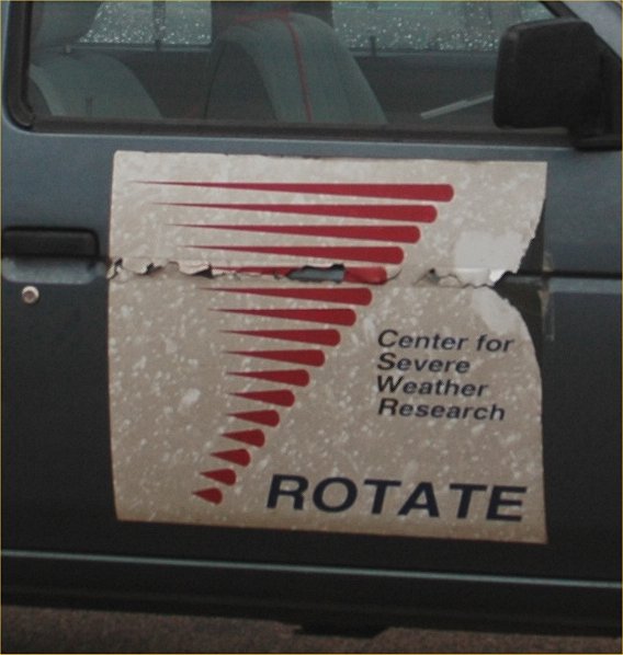
Radar
Observations of
Tornadoes
And Thunderstorms
Experiment 2005
LINKS: ROTATE 2005 and ROTATE 2006.
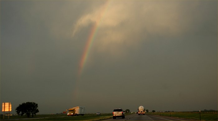
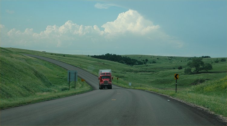
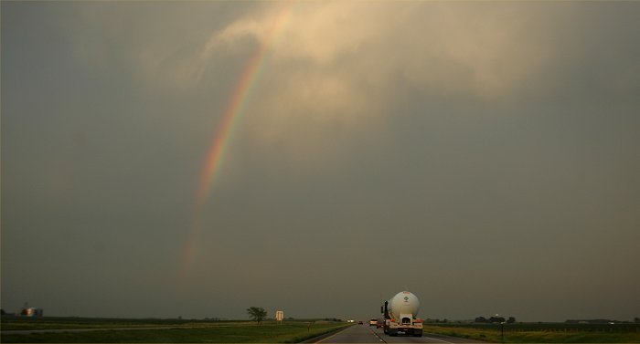
Heading
back toward Lincoln, a rainbow begins to form over I-80
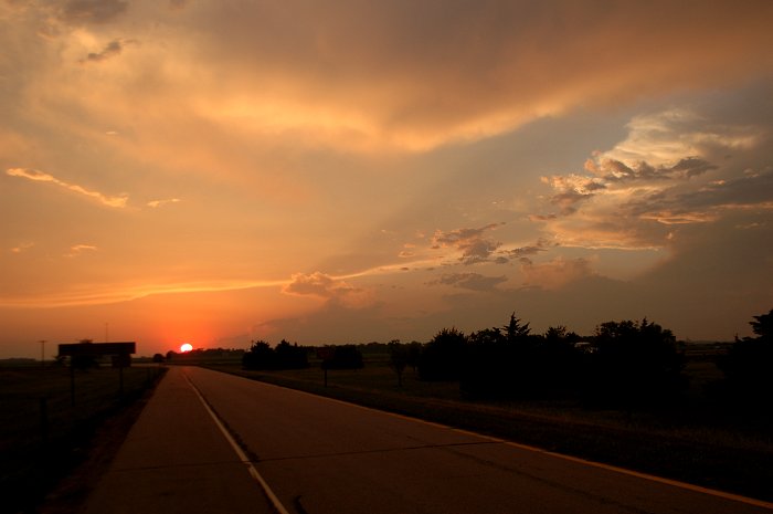
Looking
back toward the west, the sun sets over an exit ramp of I-80.
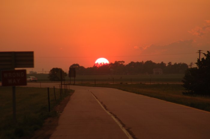
Close-up
view of the setting sun.