Images ©
Matt Crowther, guest member of the Nebraska
Vortex Intercept Team (NEVIT), High Plains Regional Climate Center.
LINK:
Matt's
Storm Blog and Weather Photos
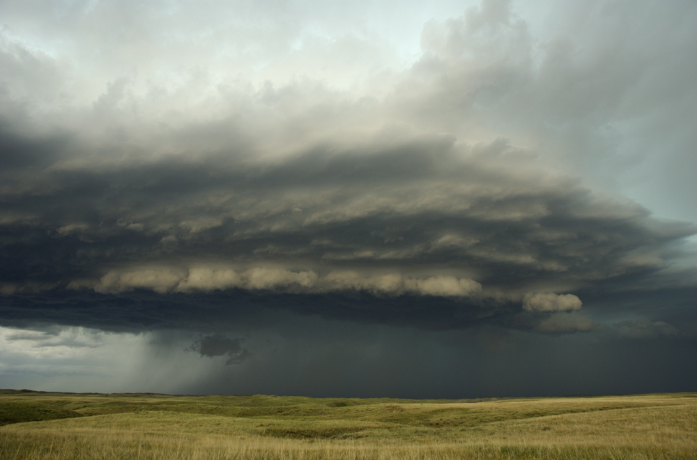
Image ©
Matt Crowther
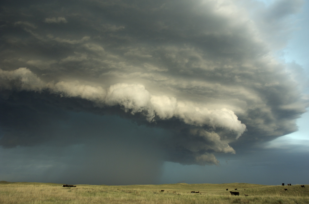
Image ©
Matt Crowther
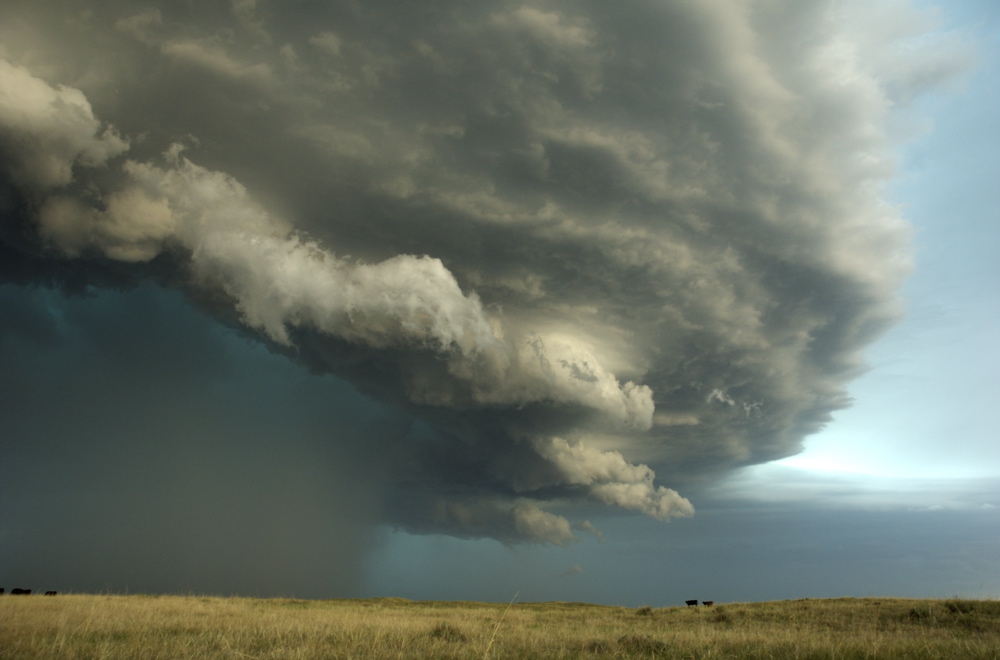
Image ©
Matt Crowther
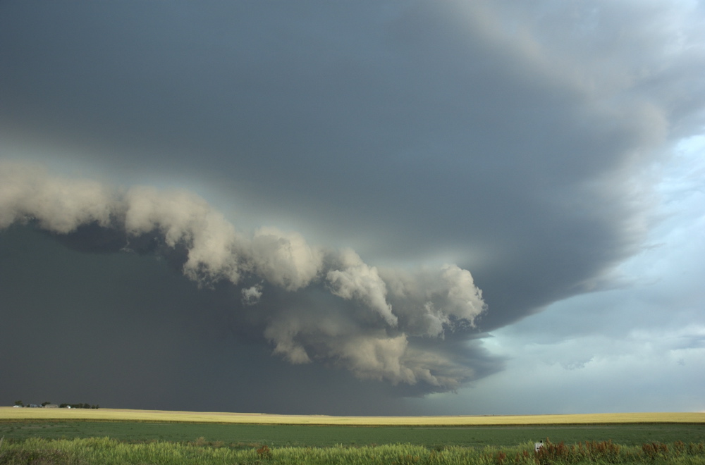
Image ©
Matt Crowther
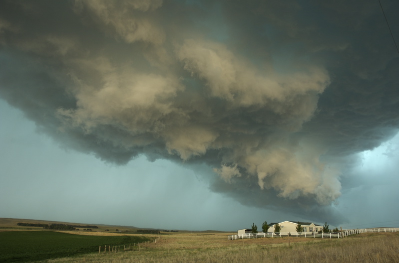
Image ©
Matt Crowther
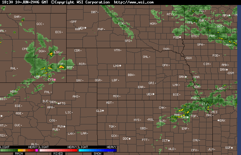
Radar loop, 1830-2030 GMT (1:30-3:30
PM CDST). Ignore the blue square that pops up in Wyoming.
Sutherland is just east of North
Platte (LBF) on the map.
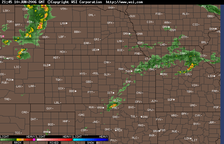
Radar loop, 2145-2345 GMT (4:45-6:45
PM CDST).
Sutherland is just east of North
Platte (LBF) on the map.
Return to: The Photo Gallery Index Page