Severe Weather in Southwest Nebraska
All Images © Ken Dewey, School of Natural Resources, UNL
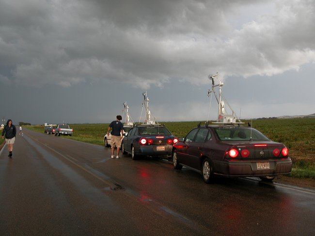
Texas Tech University storm research
vehicles monitor a thunderstorm just south of Brady Nebraska.
A tornado warning had been issued
on this storm based on a radar indicated tornado circulation.
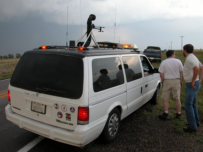
One of many out of state storm
chase vehicles observed in Nebraska on June 10. 2004
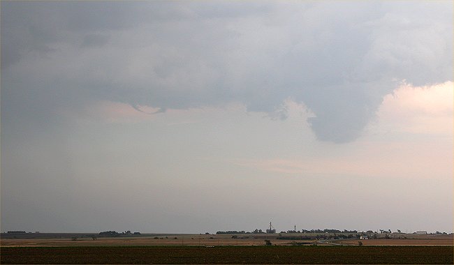
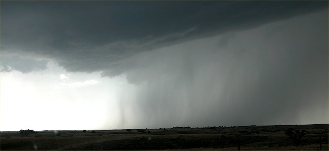
It tried very very hard to make
a tornado, but after several attempts, the thunderstorm became
primarily a producer of heavy
rain and quarter size hail.
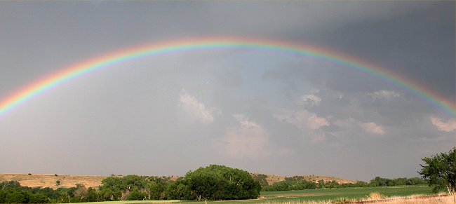
A vivid rainbow arches across
the sky touching the horizon off to the left and off to the right,
in Frontier County.
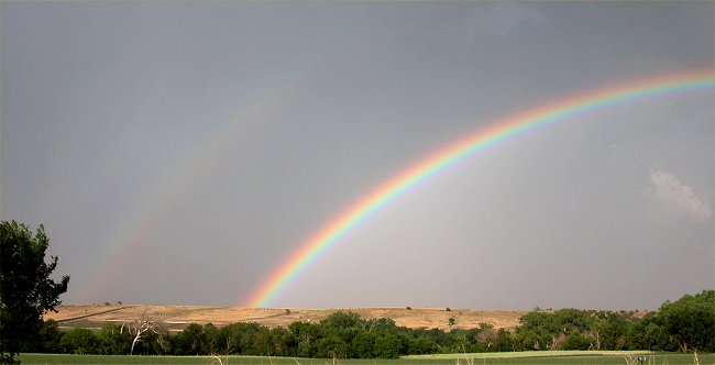
A very faint second rainbow is
visible off to the left.
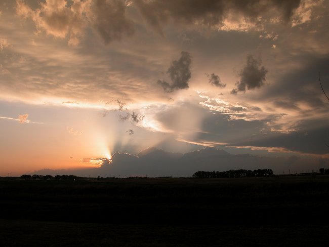
Sunset with interesting clouds
near Cozad, Nebraska
Return to: The Photo Gallery Index Page