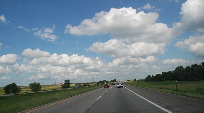
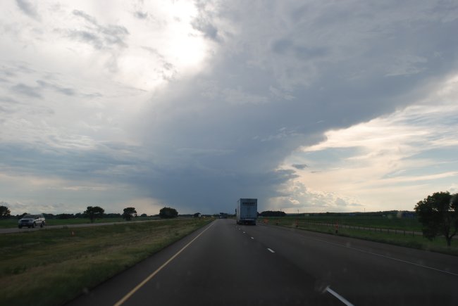
July 30, 2010: Along I-80 in eastern Nebraska
All Images ©
Ken Dewey, Applied Climate Science,
School of Natural Resources, UNL,
unless otherwise noted.
RETURN to the main photo gallery index
July 30, 2010: Along I-80 in eastern Nebraska

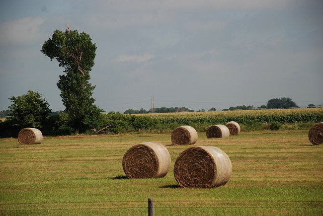
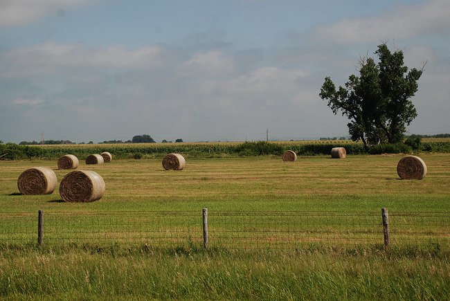
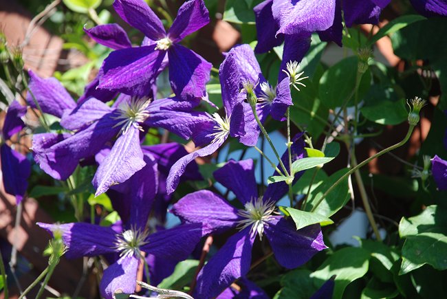
July 29, 2010: Summer color in Nebraska

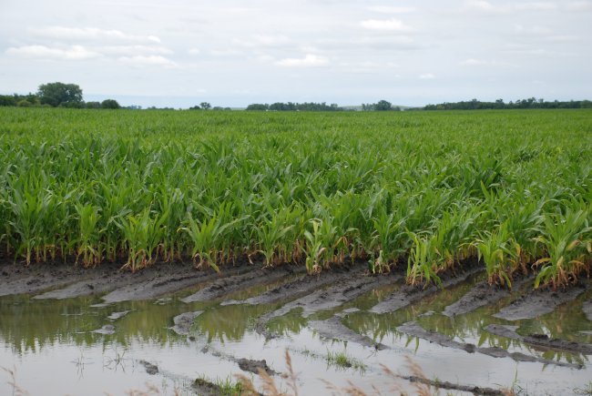
July 29, 2010: After weeks of persistent rainfall, it has
turned dry again and pivot irrigation is at work in central Nebraska

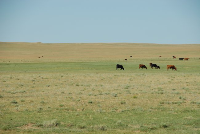
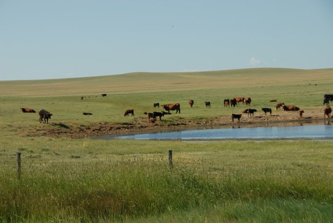
July 29, 2010: Central Nebraska
July 29, 2010: Central Nebraska
July 29, 2010: Central Nebraska
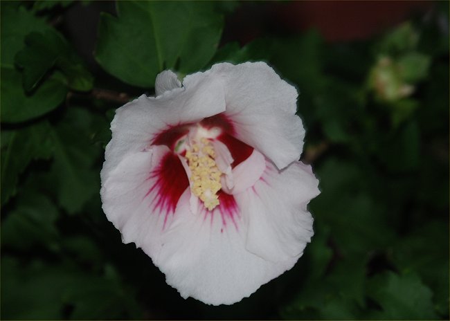
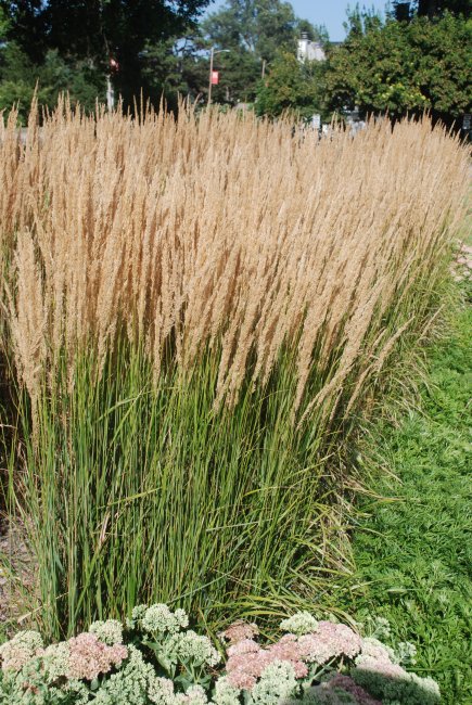
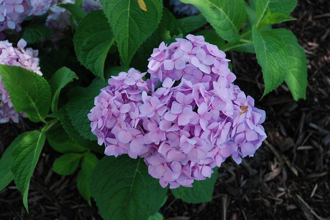
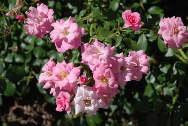
July 28, 2010: Summer color in Nebraska
July 27, 2010: East campus, UNL

July 27, 2010: East campus, UNL
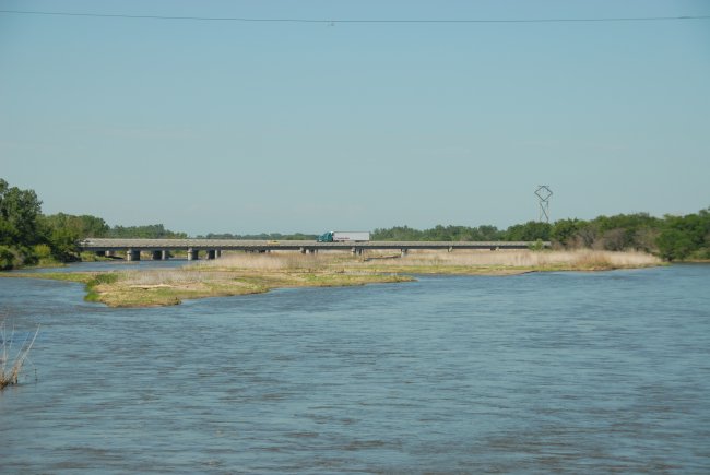
July 18, 2010: After 7 years of drought, the Platte River,
here near Grand Island, NE, is back to normal flow.
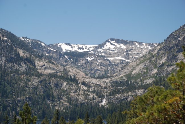
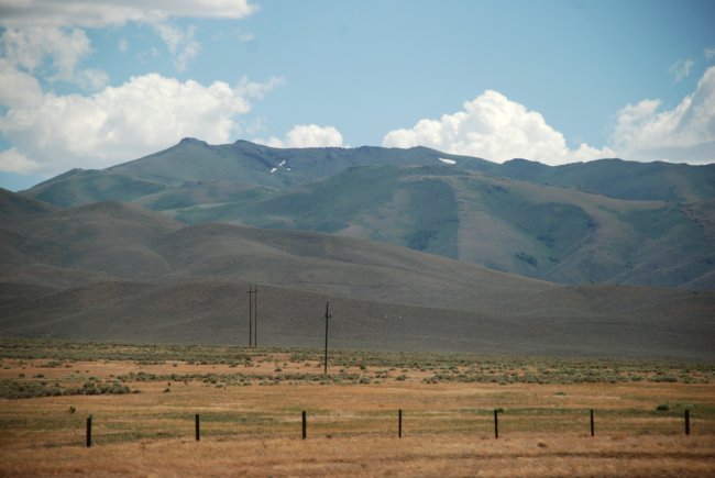
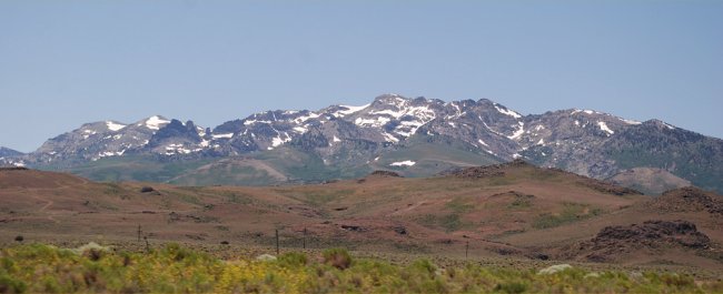
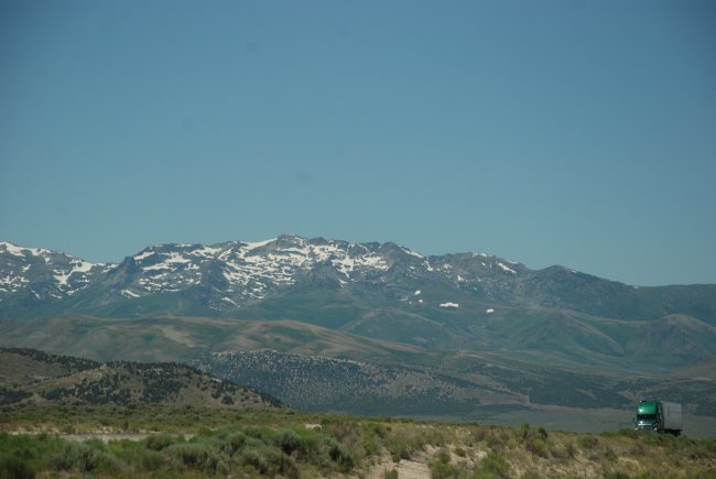
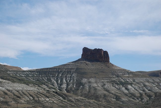
July 18, 2010: Western Nebraska
July 18, 2010: Western Nebraska
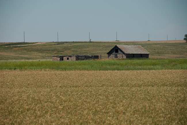
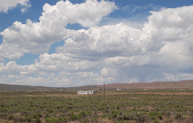
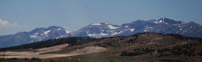
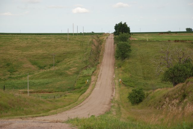
July 18, 2010: Mid Summer on the Great Plains
July 18, 2010: Mid Summer on the Great Plains
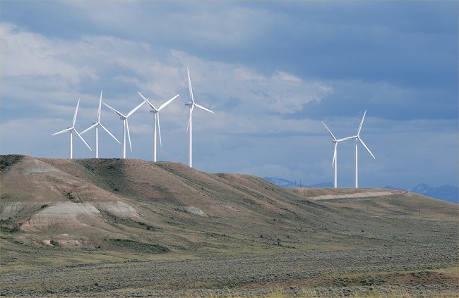
July 17, 2010: A hill in western Wyoming with wind turbines
July 17, 2010: I-80 in western Wyoming
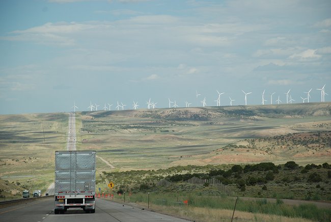
July 17, 2010: Wind turbines near Evanston, WY along I-80
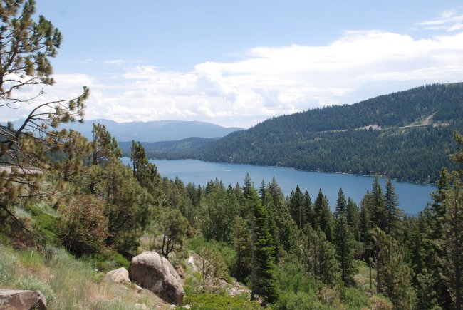
July 16, 2010: Donner Lake along I-80 in California.
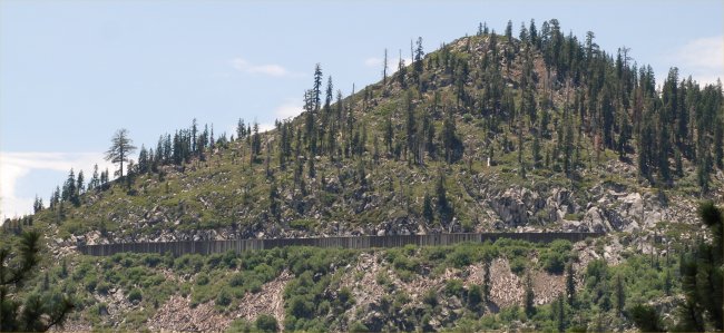
July 16, 2010: An avalanche shed for trains along the Donner
Pass in California
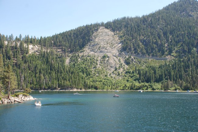
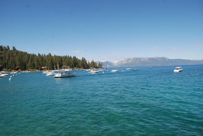
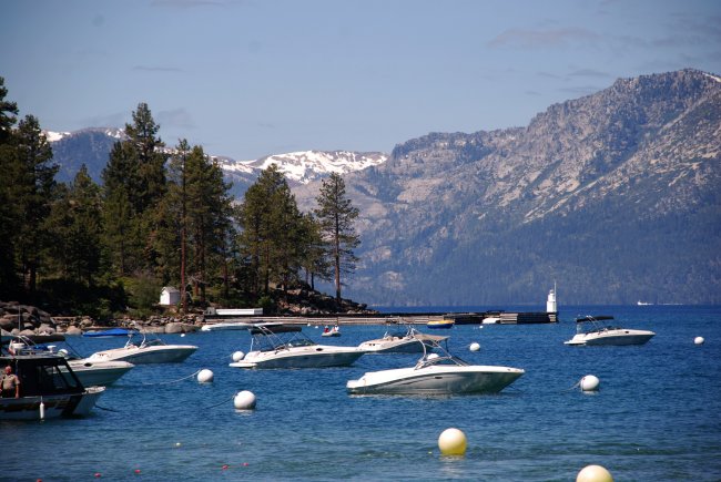
July 15, 2010: Emerald Bay, Lake Tahoe
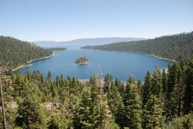
July 15, 2010: Emerald Bay, Lake Tahoe
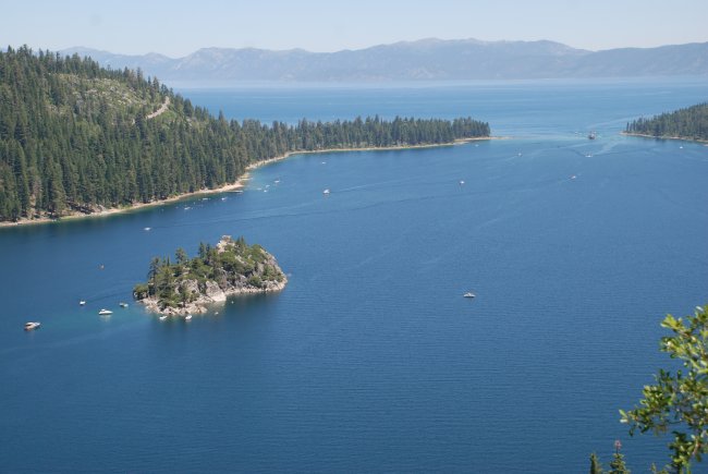
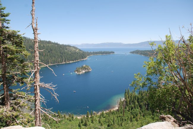
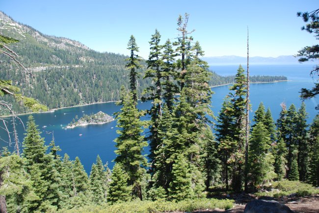
July 15, 2010: Emerald Bay, Lake Tahoe and Fannette Island,
the only island to be found in all of Lake Tahoe
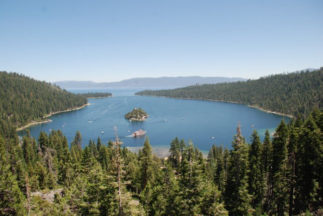
July 15, 2010: Emerald Bay, Lake Tahoe
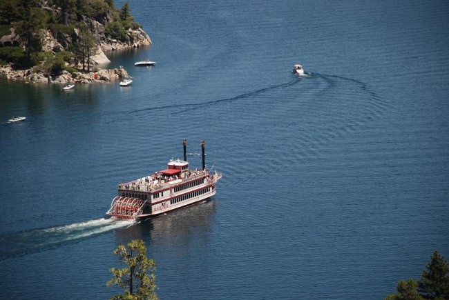
July 15, 2010: The M.S. Dixie in Emerald Bay, Lake Tahoe
July 15, 2010: Emerald Bay, Lake Tahoe
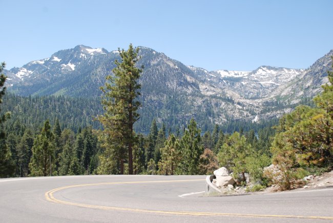
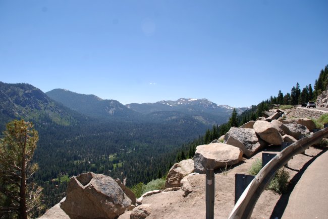
July 15, 2010: Along Hwy 50 southwest of South Lake Tahoe
July 15, 2010: Hwy 50 southwest of South Lake Tahoe
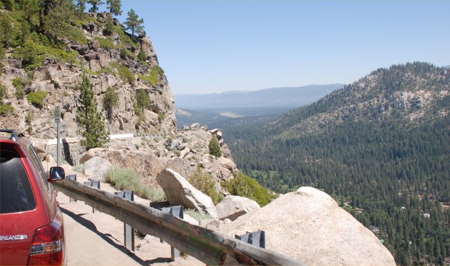
July 15, 2010: Note the lack of a guard rail and no shoulder
on the right side of this highway
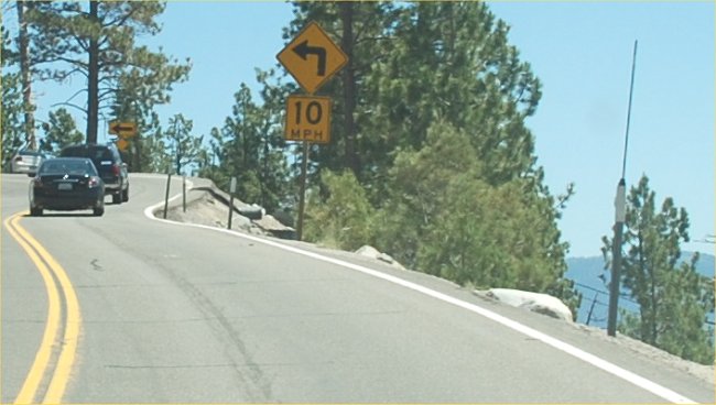
July 15, 2010: What a dangerous curve. Note the speed limit!
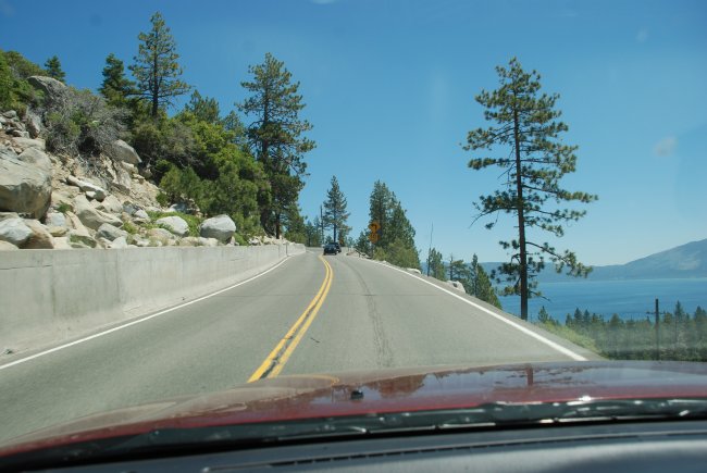
July 15, 2010: The highway that goes along the west side of
Lake Tahoe
July 15, 2010: Just west of South Lake Tahoe
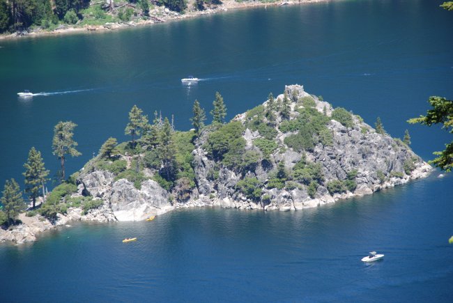
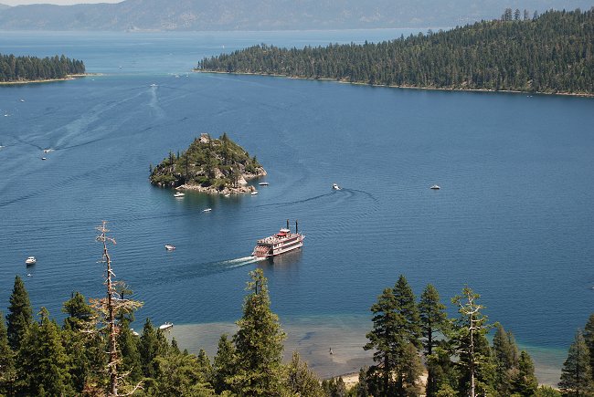
July 15, 2010: Emerald Bay, Lake Tahoe and Fannette
Island, the only island to be found in all of Lake Tahoe
July 15, 2010: Emerald Bay, Lake Tahoe
July 15, 2010: Hwy 50 west of South Lake Tahoe
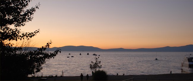
July 14, 2010: sunset at Lake Tahoe
July 11, 2010: Another view of Lake Tahoe as seen from a hotel
in South Lake Tahoe
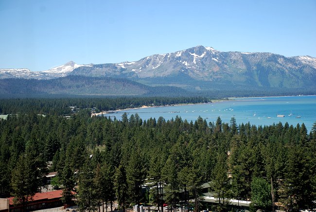
July 11, 2010: Looking out over the south end of Lake Tahoe
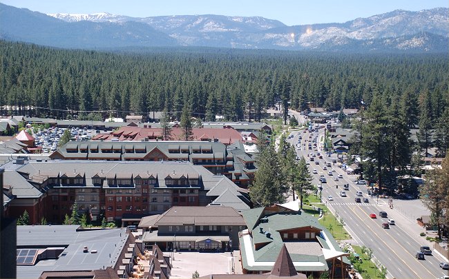
July 11, 2010: Looking west in South Lake Tahoe at the main
shopping area.
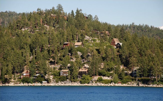
July 11, 2010: Houses perched on a steep hill in Zephyr Cove
near South Lake Tahoe
July 11, 2010: Looking south at South Lake Tahoe from on-board
the M.S. Dixie
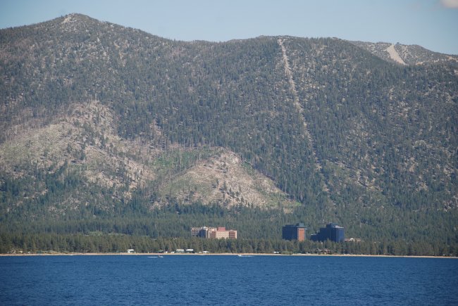
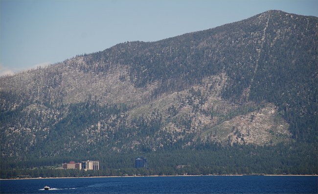
July 11, 2010: The casino hotels located on the Nevada side of
South Lake Tahoe
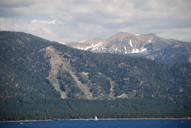
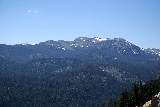
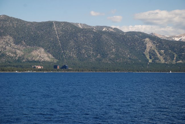
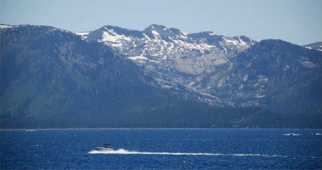
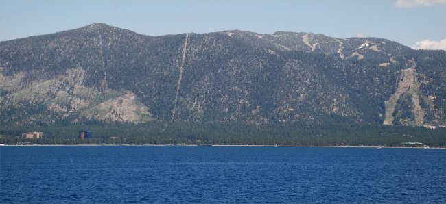
July 11, 2010: Heavenly Ski area and tall peaks beyond that
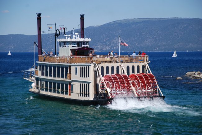
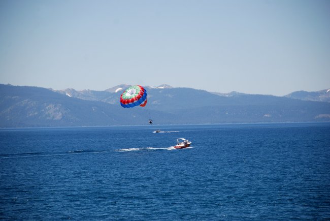
July 11, 2010: Another paddle wheel boat on Lake Tahoe, the
"Tahoe Queen"
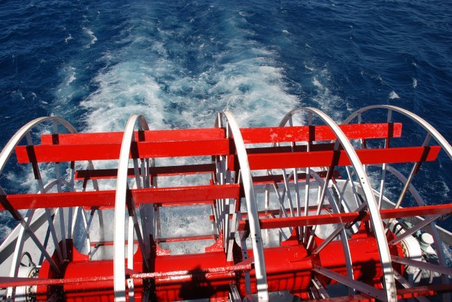
July 11, 2010: The paddlewheel on the M.S. Dixie
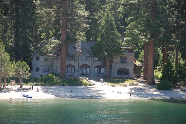
July 11, 2010: Vikingsholm is located at the head of Emerald Bay in Lake Tahoe,
California.
This magnificent "castle" is situated majestically among towering pines and
cedars, and
was built as a summer home by Mrs. Lora Josephine Knight in 1929.
July 11, 2010: Emerald Bay, on Lake Tahoe. Note the land
slide scar on the side of the mountain
July 11, 2010: South Lake Tahoe. Note the scar on the
mountain from a fire a few years ago
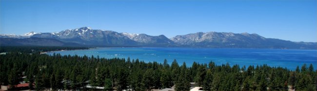
July 11, 2010: Looking west across Lake Tahoe
July 11, 2010: South Lake Tahoe (note the casinos on the left.
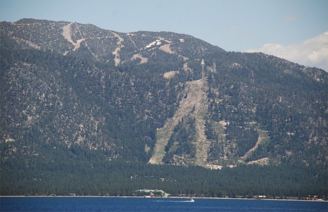
July 11, 2010: Heavenly Ski area in South Lake Tahoe viewed
from on-board the "M.S. Dixie"
July 11, 2010: Zephyr Cove, Lake Tahoe, NV
July 11, 2010: Looking west from South Lake Tahoe
July 11, 2010: Zephyr Cove, Lake Tahoe, NV
July 11, 2010: Zephyr Cove, Lake Tahoe, NV
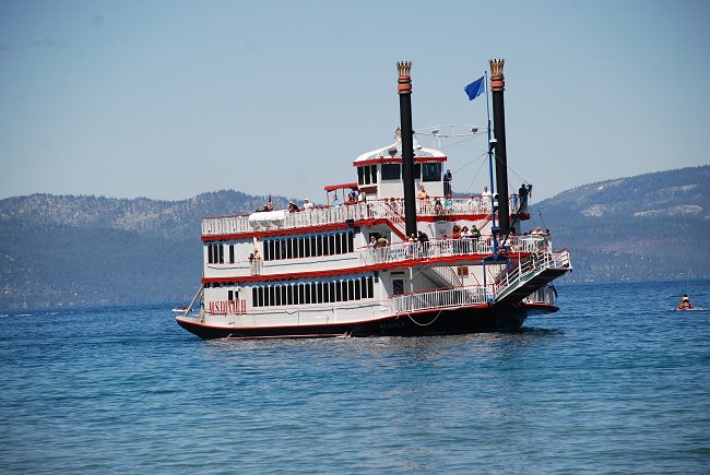
July 11, 2010: "M.S. Dixie", Zephyr Cove, Lake Tahoe, NV
July 11, 2010: Zephyr Cove, Lake Tahoe, NV
July 10, 2010: Northeast of Reno, NV
July 10, 2010: Its a long way to your neighbor and to the
store living out here in north central Nevada
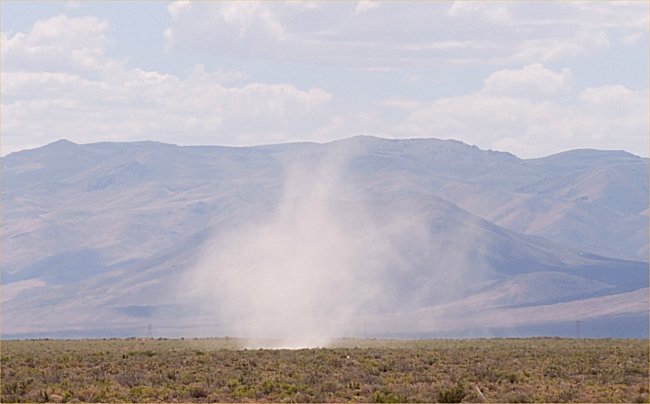
July 10, 2010: A dust devil spinning up along I-80 in central
Nevada
July 10, 2010: eastern Nevada along I-80
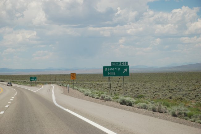
July 10, 2010: Beverly Hills, Utah (a huge difference from
Beverly Hills, CA)
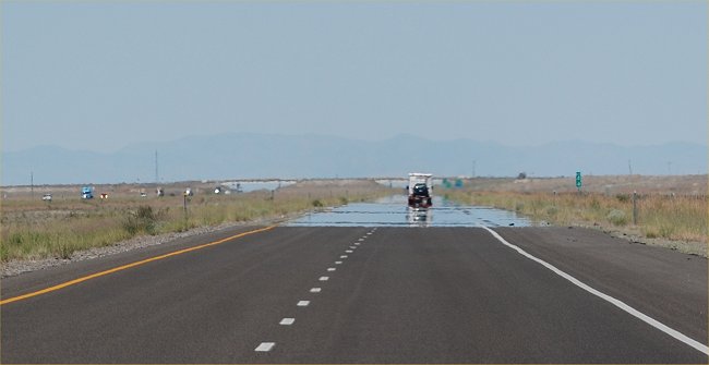
July 10, 2010: Hot air is creating this mirage of water on
I-80. It was actually sunny, hot and dry.
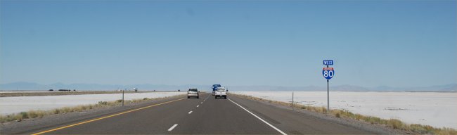
July 10, 2010: I-80 crossing the salt flats in Utah
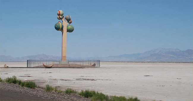
July 10, 2010: Interesting sculpture "The Tree of Utah" along
I-80 crossing the Great Salt Lake in Utah
|
From: http://www.utah.com/amusement/metaphor_tree.htm An abstract artistic sculpture called Metaphor: The Tree of Utah stands of the edge of I-80 on the barren Bonneville Salt Flats west of Salt Lake City. Swedish artist Karl Momen created the 87-foot high tree between 1982-1986. He financed the project himself to bring bold color and beauty to the stark, flat, salty landscape. The sculpture is made of 225 tons of cement, almost 2,000 ceramic tiles and five tons of welding rod, and tons of minerals and rocks native to Utah. Also called the "Tree of Life," the sculpture is located on the north side of I-80 about 95 miles west of Salt Lake City (25 miles east of Wendover). The location is interesting because the harsh environment here hindered many travelers in pioneer times. Members of the ill-fated Donner Party were tragically delayed in this area before their awful demise in the Sierra Nevada mountains. During WWII, the crew of the Enola Gay practiced bombing runs over the Great Salt Lake Desert before proceeding to Hiroshima to end the war. After completing his work Momen returned to Sweden, donating the sculpture to the state of Utah. |
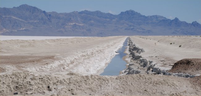
July 10, 2010: a channel used to drain water out of the salt
flats
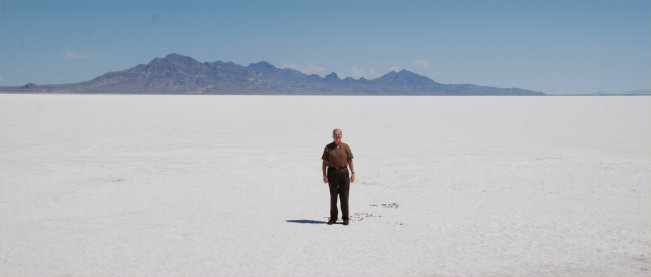
July 10, 2010: The Bonneville Salt Flats in Utah
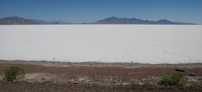
July 10, 2010: The Bonneville Salt Flats in Utah
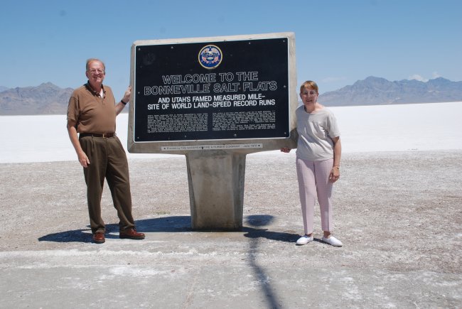
July 10, 2010: The Bonneville Salt Flats in Utah
July 10, 2010: near Salt Lake city, UT
July 10, 2010: Near Salt Lake City, UT
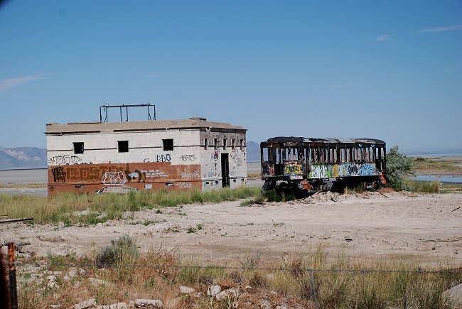
July 10, 2010: An abandoned business on the shore of the Great
Salt Lake in Utah
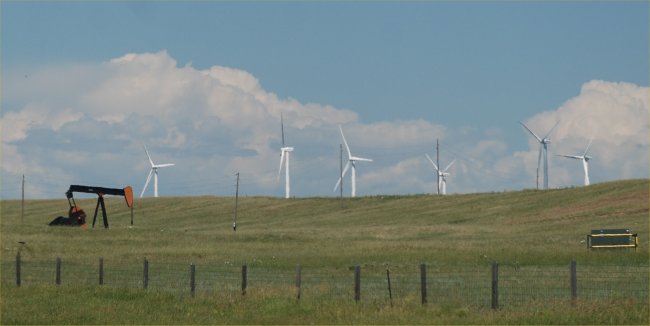
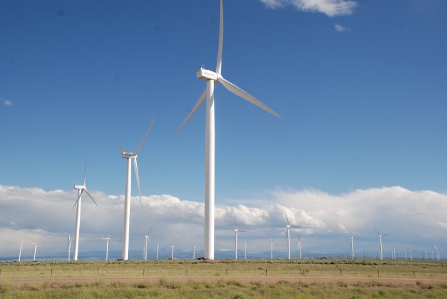
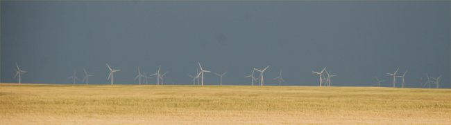
July 9, 2010: Wind turbines in eastern Wyoming
July 9, 2010: Wind turbines in eastern Wyoming
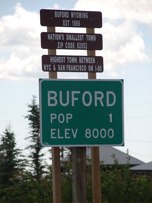
July 9, 2010: Interesting Wyoming town with a population of
only 1 person
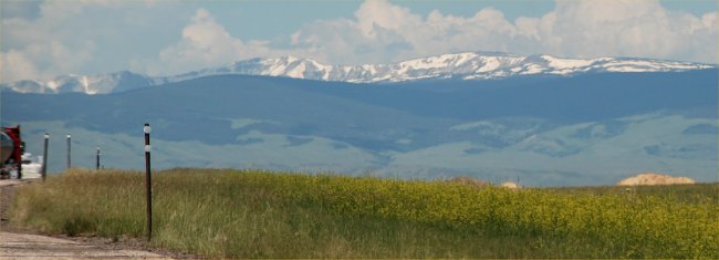
July 9, 2010: Southern Wyoming
July 9, 2010: Southern Wyoming with snow fences in the
foreground)
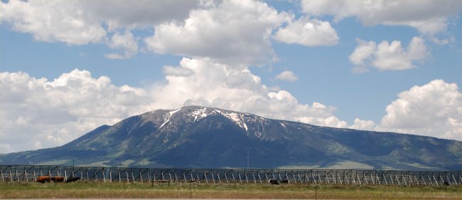
July 9, 2010: Southwest Wyoming
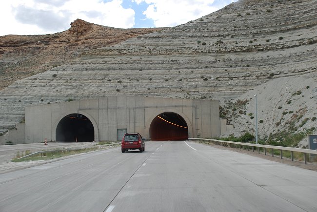
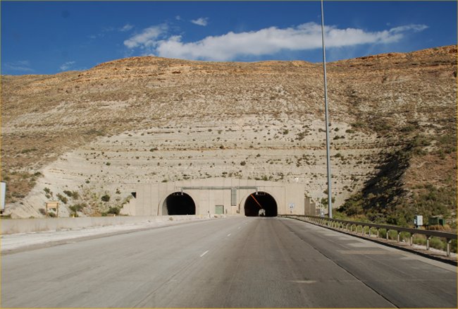
July 9, 2010: I-80 tunnels in western Wyoming
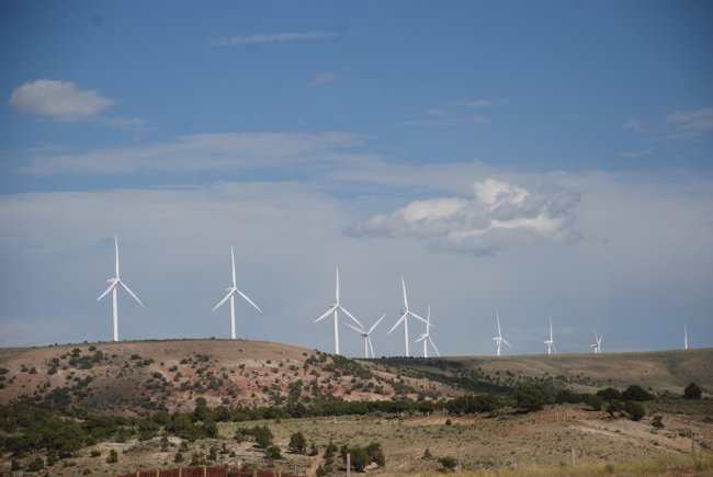
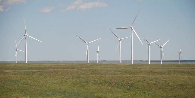
July 9, 2010: Wind turbines in southwest Wyoming.
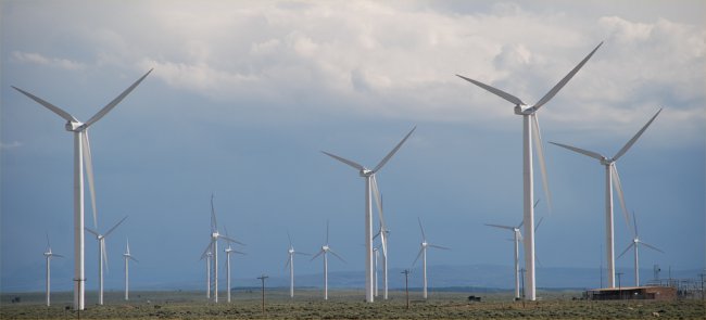
July 9, 2010: Wind turbines in southwest Wyoming.
July 9, 2010: Wind turbines in southwest Wyoming.
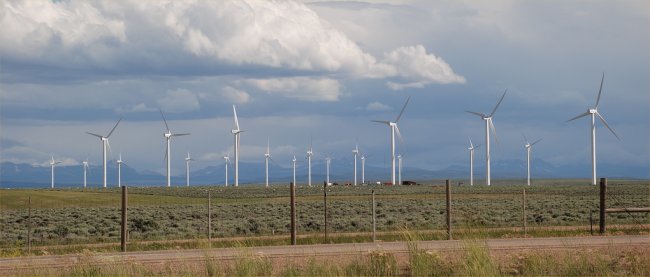
July 9, 2010: Wind turbines in southwest Wyoming.
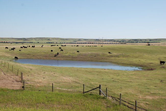
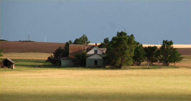
July 9, 2010: western Nebraska with the Sandhills region in the
distance
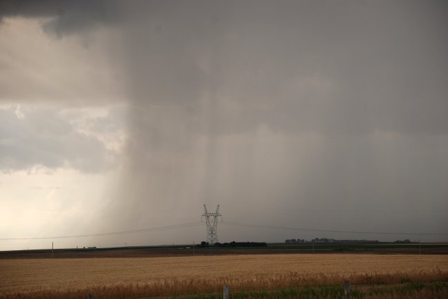
July 8, 2010: Heavy rain in western Nebraska during a
very wet Summer
July 8, 2010: A cloud suddenly dumps heavy rain in western
Nebraska
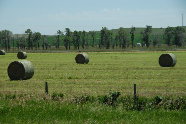
July 8, 2010: mid Summer in Central Nebraska
July 8, 2010: Near Sidney, Nebraska
July 8, 2010: Wind turbines near Sidney, Nebraska
July 8, 2010: The leading edge of a cold front in
central Nebraska
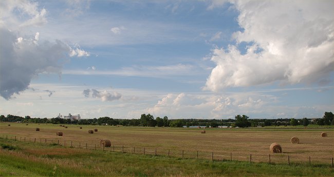
July 7, 2010: A very wet Summer in Central Nebraska
July 7, 2010: A lonely road in western Nebraska

July 6, 2010: Beautiful Summer color
July 6, 2010: Beautiful Summer color
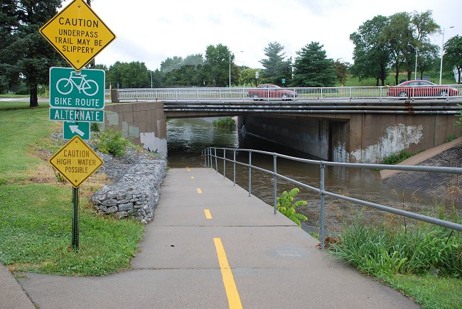
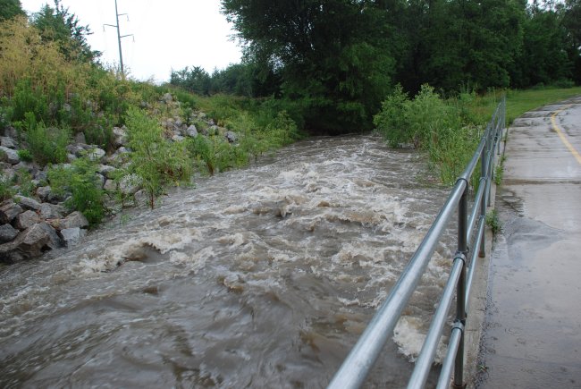
July 4, 2010: After a morning of heavy rain,
water from Antelope creek floods this bike path in Lincoln, NE
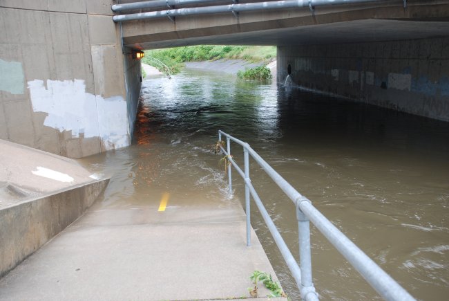
July 4, 2010: A closer view of the above photo
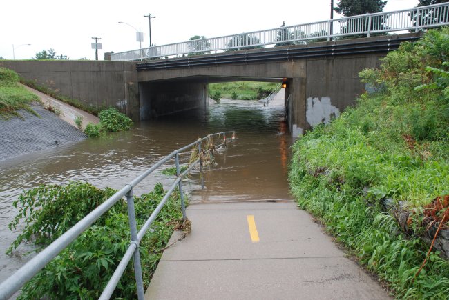
July 4, 2010: Antelope Creek is flooding after a morning of
heavy rain in Lincoln, NE.
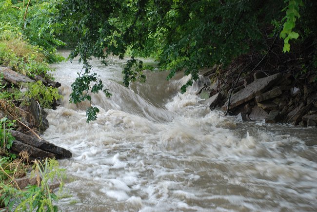
July 4, 2010: A neighborhood creek swollen from heavy rain in
southeast Lincoln, NE.
July 4, 2010: Rapidly moving creek in Lincoln following a
morning of heavy rainfall
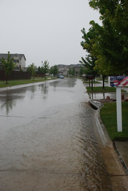
July 4, 2010: Early morning heavy rain and
runoff in Lincoln, NE
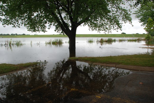
July 4, 2010: Heavy rains push Holmes Lake out of its banks
one more time.
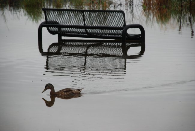
July 4, 2010: Heavy rains push Holmes Lake out of its banks
one more time.
July 1, 2010: Some Summer color in Lincoln, NE
July 1, 2010: Some Summer color in Lincoln, NE.
|
School of Natural Resources  |