February 8-9, 2001
Snowstorm Hits Southeast Nebraska

Storm Photo Gallery

All Images © Ken Dewey, School of Natural Resources, UNL.

The storm began with freezing rain glazing the cars parked 
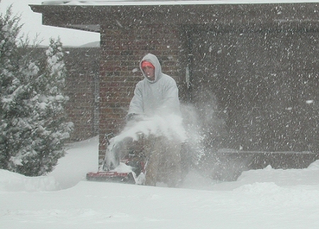
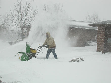
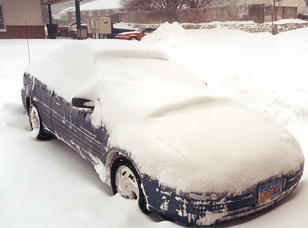
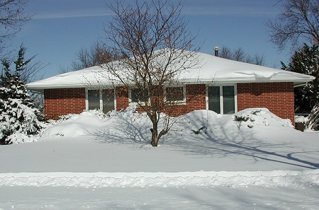
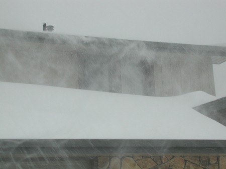
outside on Thursday afternoon, February 8, 2001
The remaining photos on this page were taken on 
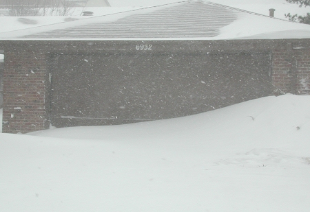
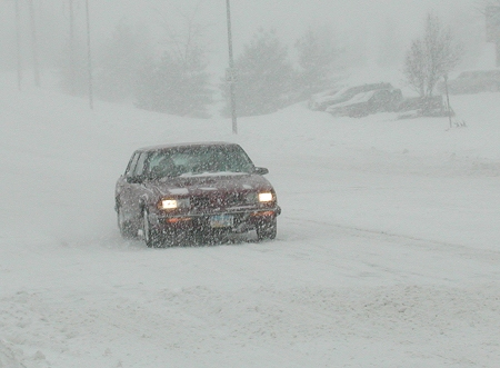
Friday and Saturday, February 9-10, 2001
Snow was still falling and the wind was blowing it around. 
Rush hour was non-existent with only a 
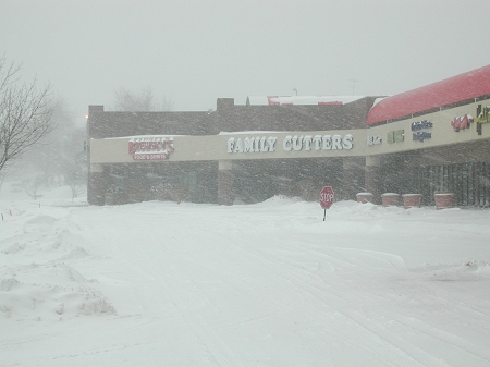
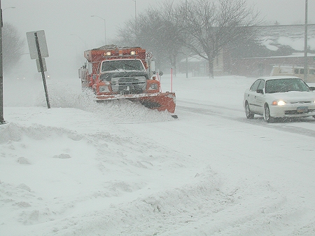
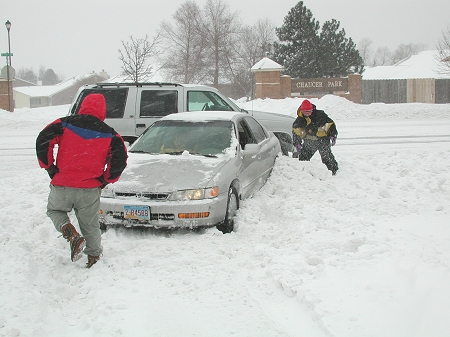
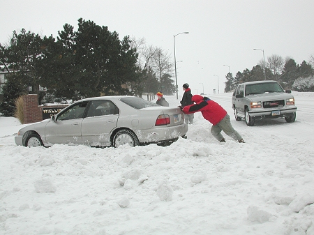
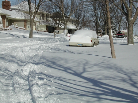
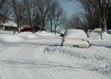
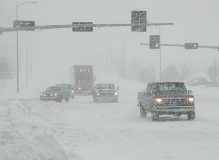
few cars out on the area roads.
A total of 7.8 inches of snow fell from 6 PM to 6 AM. 
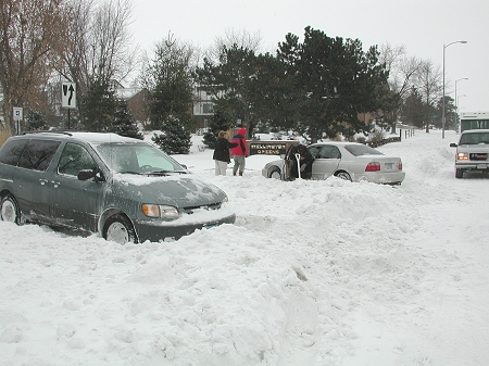
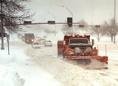
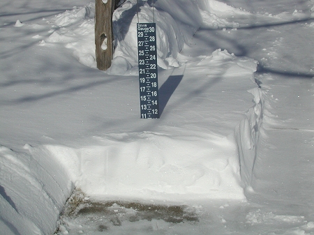
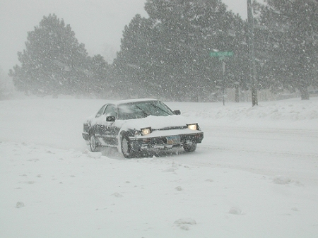
Another 2.2 inches of snow fell during mid morning.
Both the photo on the left and on the right were taken 
in South Lincoln near 84th and Van Dorn streets.
Traffic was moving slowly with visibility only about 
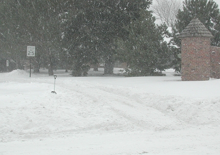
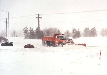
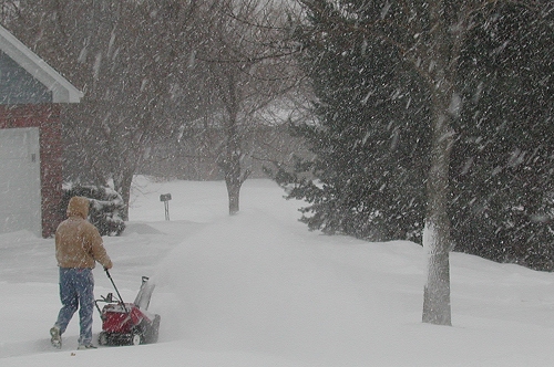
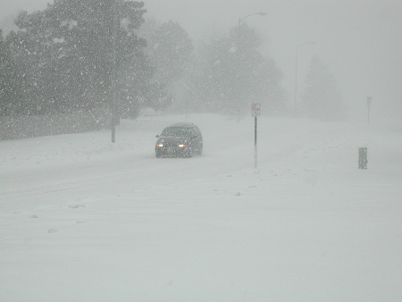
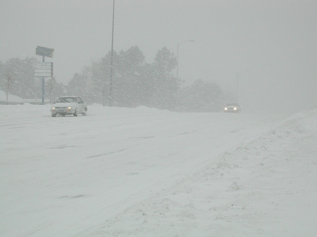
100 yards at 70th and Van Dorn Streets in Lincoln.
Normally a busy street, mid-morning found traffic to be 
very light looking north up 70th St. at Van Dorn.
Mid morning found shopping centers virtually deserted.
Plows were working to clear the main roads.
This driveway remains buried under a large snow drift.
Snow blowers that have sat idle for several winters 
were now put into service across the city.
Traffic was still light with most driveways blocked by 
deep snow. And, residential roads were impassible
Here, the entrance to the Trendwood neighborhood 
finds two deep ruts and 12 inches of drifted snow.
Several motorists attempt to free a car stuck in 
the snow.  A scene repeated all over town.
The mini van was also stuck in a row of 
snow plowed off 70th street.
Traffic began to pick up and plows worked on the main 
streets (here at 70th and "A" Streets.
By noon, the snow had stopped and those venturing out 
found the side streets impassible.
The morning burst of snowfall covered cars 
that had been parked at businesses.
Blowing snow was still limiting visibility throughout the 
morning as plows worked to clear the roads. 
The sun appeared at 1 PM, it was 9 F so there was no 
melting with residential roads remaining impassible.
The temperatures were in the single digits, but the 
winds began to die down and the digging out continued.
The storm total at the Lincoln airport was 10.0 inches. 
Here in southeast Lincoln, the total was 11.0 inches.
By mid-day Saturday, plows began to clear 
out the residential areas.
By afternoon Saturday, most of the 
residential streets were cleared.
Despite the inconvenience of the storm, the resulting 
snow cover created some nice winter photos. 

News Reports

Snowstorm Strands Motorists Streets Crews Work Harder,Gusts Scatter Snow
Snowstorm Wallops Midlands Shoveling Out in Omaha
Strong Winds Forecast to Whip Up Snowfall Incoming! Another Storm Takes Aim
High-Tech Plows Breaking Into Snow Business

Storm Data, Maps, etc. (Feb. 8-9, 2001)

Weather Channel Weather Maps Weather Channel Lightning Maps
Radar 9 AM - 9 PM Feb. 8 Winter Storm Warnings (Feb. 8)
Radar 6 PM, Feb. 8 - 5 AM, Feb. 9 Area Forecast Discussions (Feb. 8)
Radar 2 AM - Noon, Feb. 9 Feb. 8-9 Temperature Maps
Severe Weather Warnings Maps Special Weather Statement (Feb. 9)
Feb. 9, 2001 vs. Feb. 9, 2000

Return to:  The Photo Gallery Index Page