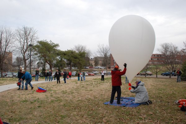
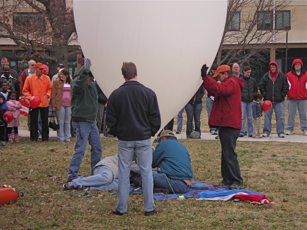
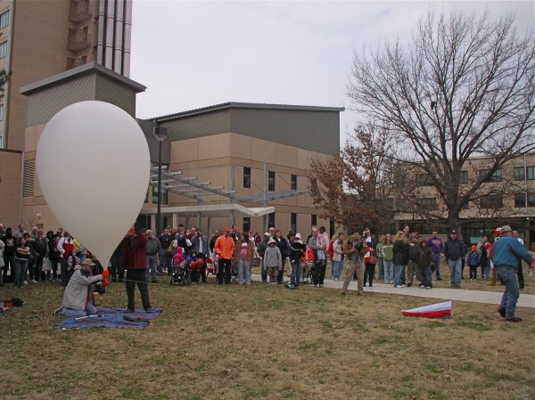
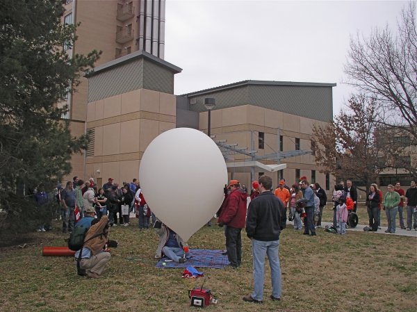
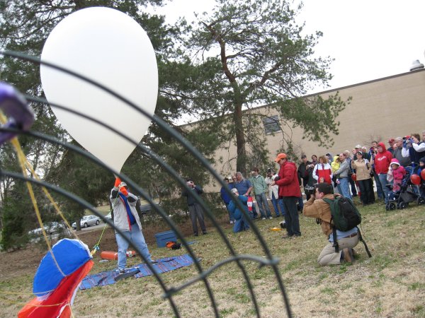
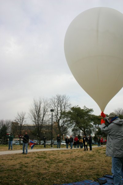
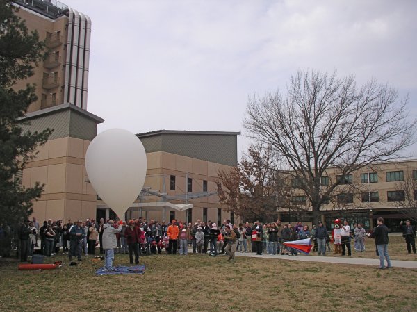
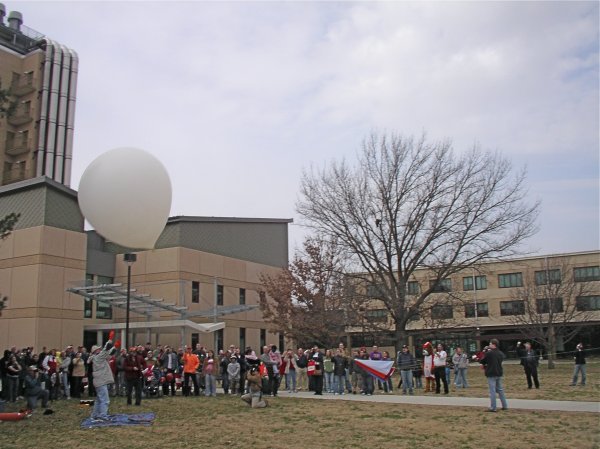
Nebraska Stratospheric Amateur Radio Balloon Launch and Tracking
![]()
Our flight went
extremely well and we recovered the payloads about 5 mi south of Elliot,
IA. They landed just on the far side of the fence next to the road, so
it was an extremely easy recovery. The airborne photo attached is from
just before our peak altitude of about 93,000 ft. The other was taken by
Lowell Abarr of the payload just before touchdown. A map of the
trajectory is included below here.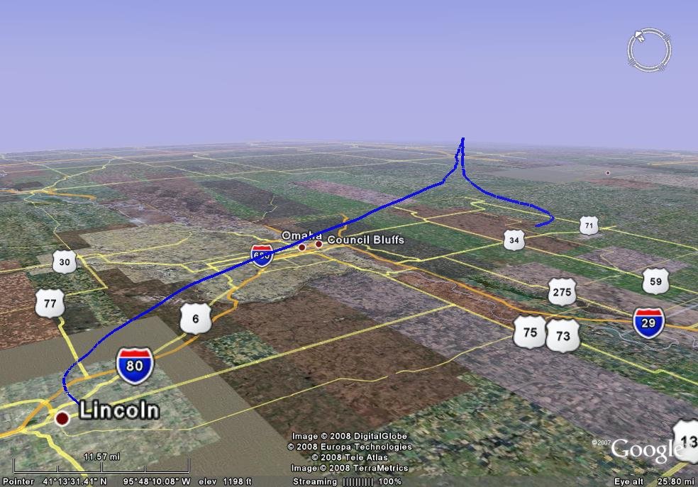 |
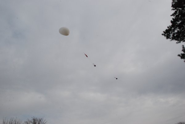
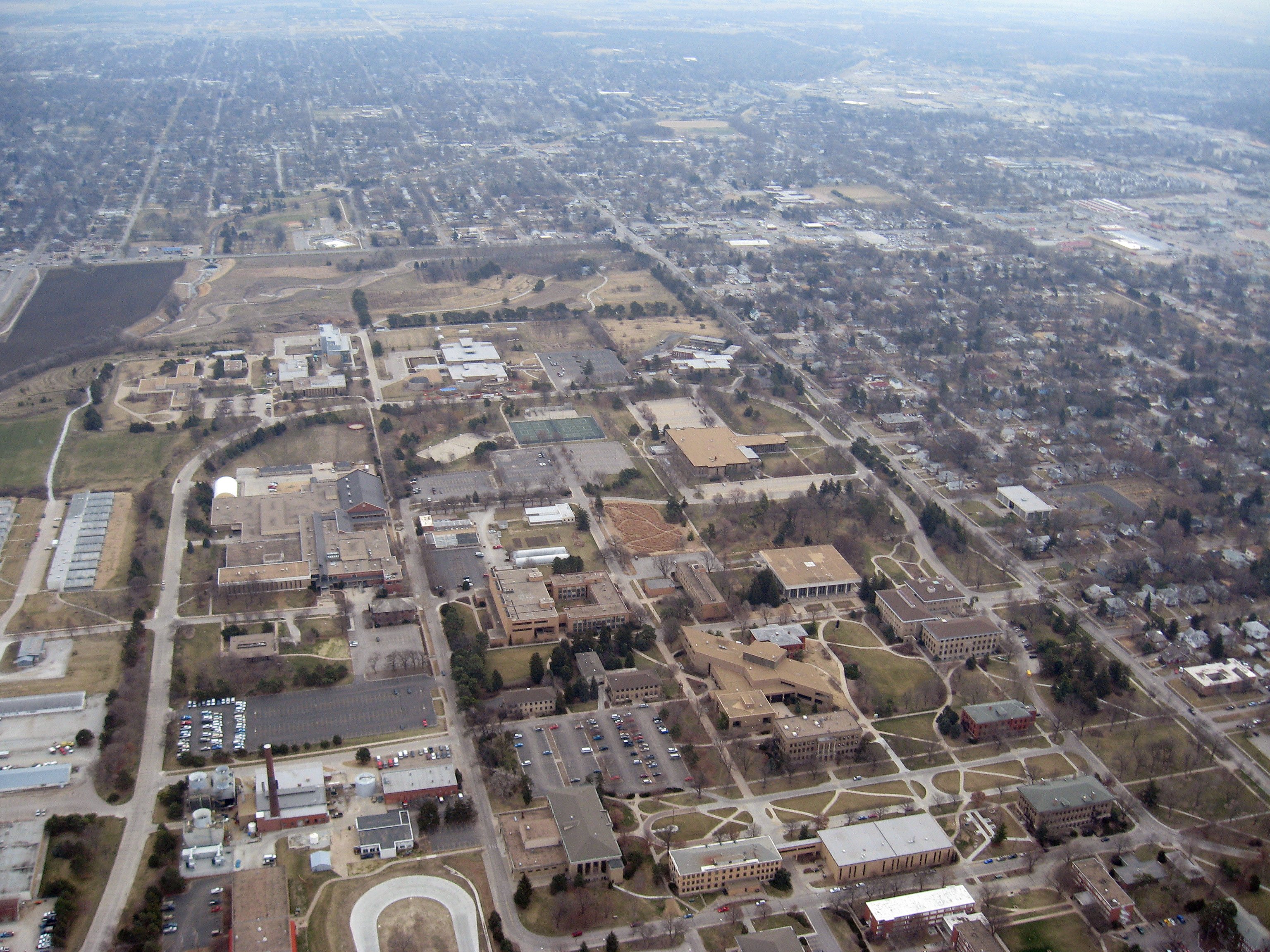
1.5 minutes after the launch looking down at East Campus of UNL.
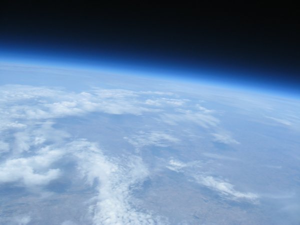
At peak ascent of approximately 93,000 feet. 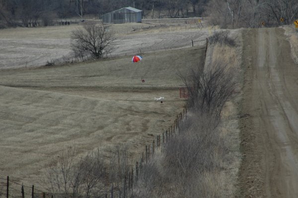
Five miles south
of Elliot, Iowa