|
|
|
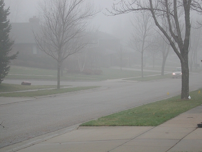
Foggy, temperature and dewpoint
53 F, 9 AM.
|
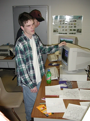
John Garner giving a weather
briefing complete with
hand analyzed maps to the NEVIT
group, 10 AM.
|
|
|
|
It was now 1 PM and we were
near Russell, KS. The overcast remained unbroken and the first Doppler
Radar indicated tornado warming was issued for a storm headed north at
a high rate of speed and 60 miles west of us.
|
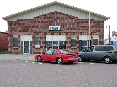
The Ness City, KS Library,
5 PM. It may be a small library, but they do have a computer hooked
up to the Internet. Iowa State University chasers had been here earlier
in the day.
|
|
|
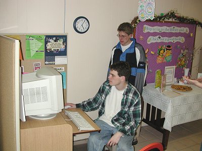
John Garner, team leader,
takes a look at the forecast
products available on the Internet
in the Ness City, KS,
library, while Evan Kucera looks
on.
|
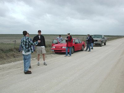
The chase team is in position
now at our target
location near Dighton, KS.
|
|
|
Christy Carlson stands ready
as the squall line approaches.
Although large tornadoes were
unexpected, we were at least anticipating gustnadoes or small short lived
tornadoes.
|
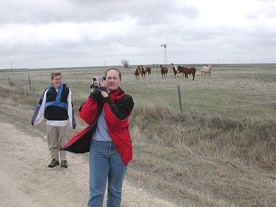
Jim Kaiser and John Garner
keep a watchful eye on the squall
line moving into our area at
a forward speed of 75 mph.
|
|
|
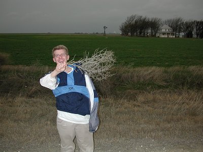
Unsuccessful at catching
a tornado on this chase, Evan Kucera
was at least successful in catching
some of the tumbleweed that
was moving north with winds gusting
to 70 mph.
|
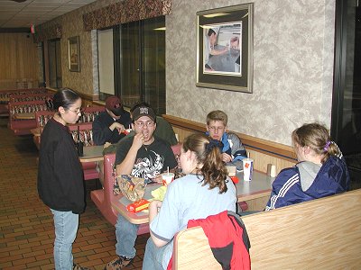
Our final stop of the evening
was near Russell, KS for a late
dinner and break before the long
drive back home to UNL. We arrived back in Lincoln, NE at 1:45 AM,
a 789.5 mile chase.
|