#1 hitting a wild animal, or #2 driving too fast for road conditions or, #3 falling asleep while driving.

The Alaska Highway :
Dawson Creek to The Rocky Mountains in British Columbia.
ALL Photos © K. Dewey, School of Natural Resources, Applied Climate Sciences, UNL.
|
|
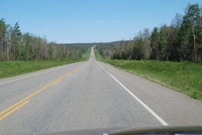
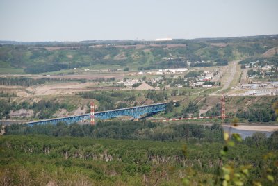
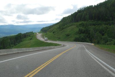
| 20 miles from Dawson Creek, a smooth well paved road. | Approaching the Peace River Bridge |
|
|
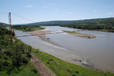
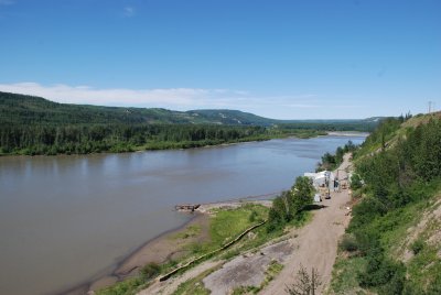
| A natural gas line crossing the Peace River | Looking west along the Peace River |
|
|
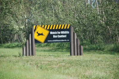
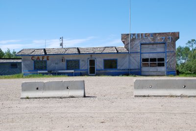
| One of many warnings about wildlife on the roads | One of many abandoned service areas along the Highway |
|
|
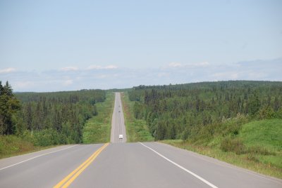
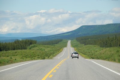
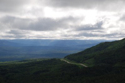
| Midway between Dawson Creek and Fort Nelson | The first view of the Rocky Mountains along the Highway |
|
|
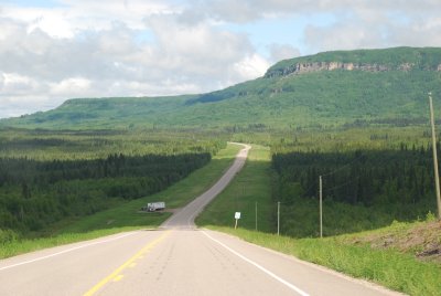
| About 100 miles south of Fort Nelson | About 50 miles south of Fort Nelson. |
| |
|
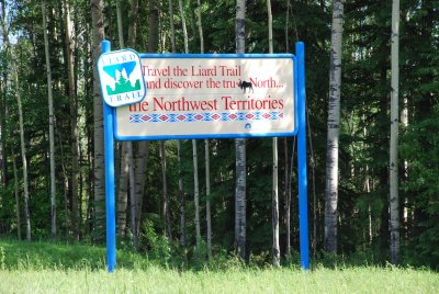
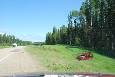
| 20 miles west of Fort Nelson is a highway up to the southern portion of the Northwest Territories. We instead continued on the Alaska Highway & entered the Northwest Territories in the northern Yukon much later in this trip. | According to the RCMP, almost all accidents
are single vehicle accidents along this highway and result from #1 hitting a wild animal, or #2 driving too fast for road conditions or, #3 falling asleep while driving. |
| |
|
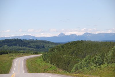
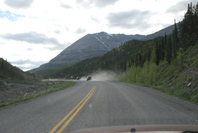
| The Alaska Highway enters the Rocky Mountains | The Alaska Highway enters the Rocky Mountains |
| |
|
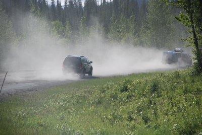
| The last of the excellent road conditions | The first of many road breaks with a loose gravel |
| |
|
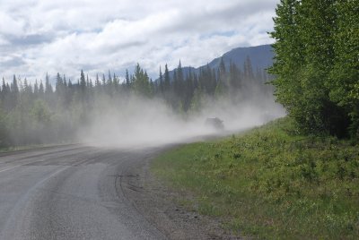
| The rough winter conditions breaks up this road each year | The pavement abruptly ends with a dusty loose gravel. |
| |
|
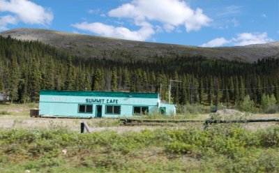
| This is another abandoned business along the Highway | This is near the Continental Divide |
|
|
|
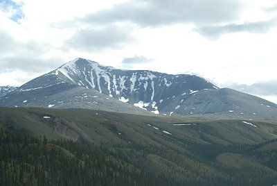
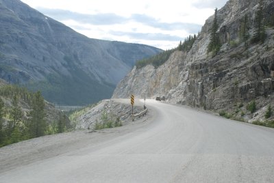
| Summit Lake as the Highway reaches its highest point | the Alaska Highway enters a spectacular canyon |
| |
|
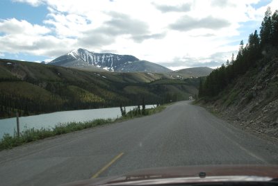
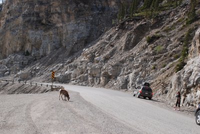
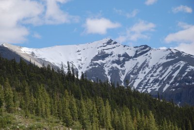
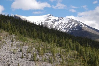
| Wildlife along the highway at the summit | spectacular mountain views along the road |
| |
|
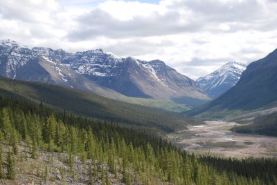
| Late afternoon, first day on the Alaska Highway | Late afternoon, first day on the Alaska Highway |