all images: © K. Dewey, SNR, UNL.
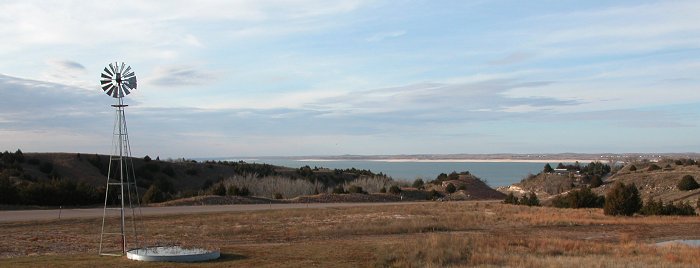
PHOTO: November 12, 2004
Lake
McConaughy, looking northwest, as seen from the visitor's center.
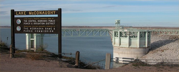
PHOTO: November 12, 2004
Lake
McConaughy, Kingsley Dam Spillway tower.
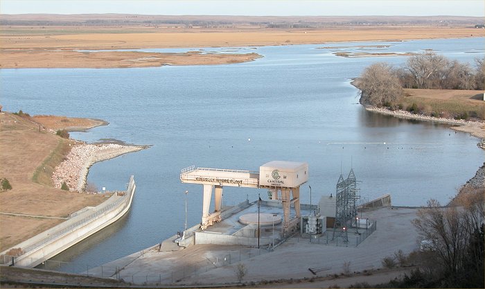
PHOTO: November 12, 2004
Lake
McConaughy, Kingsley Dam Hydroelectric power plant viewed from atop the
dam.
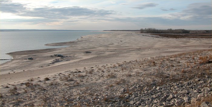
PHOTO: November 12, 2004
Lake
McConaughy, looking west from atop the north end of the dam.
Note
the cars and people who are on a beach that was under 65 feet of water
when the reservoir was full.
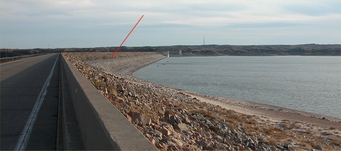
PHOTO: November 12, 2004
Lake
McConaughy and Kingsley Dam. The red line was added to show the "bathtub"
ring or
watermark
where the lake level is during normal years.
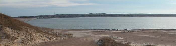
PHOTO: November 12, 2004
The
shoreline and boat ramp was in the foreground where the vegetation ends.
It is now 65 feet lower
and
well in the distance where the vehicles are parked. The dam is in
the distance off to the left.
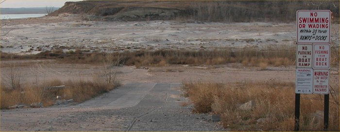
PHOTO: November 12, 2004
This
is the boat ramp near the town of Lemoyne. Note the lake is well
off in the distance.
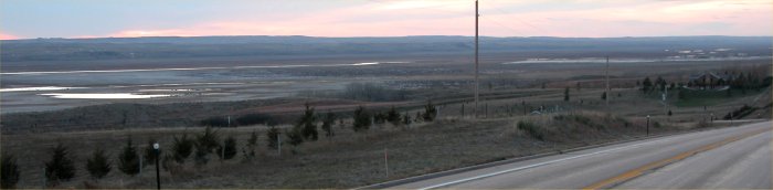
PHOTO: November 12, 2004
This
is 1.5 miles east of Spring Creek showing a dry Lake McConaughy with a
small amount of inflow and
a
few pools of remaining water. Normally, the depth of water would
be up to 50 feet deep in this area.
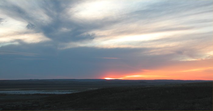
PHOTO: November 12, 2004
Looking southwest at the mid-point
of Lake McConaughy at sunset.
Only a small pool of water remains
at this location.
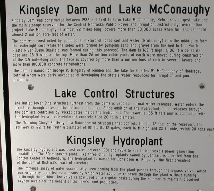
PHOTO: November 12, 2004
Lake
McConaughy, Kingsley Dam Information Sign.
Click HERE for a larger more easy to read size of this image.
Return to: The Photo Gallery Index Page