ALL
Images © Ken Dewey, School of Natural Resources, UNL.
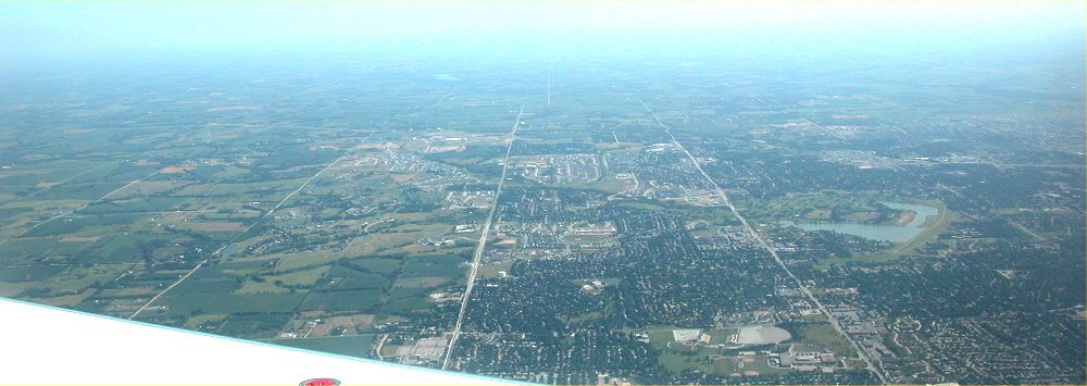
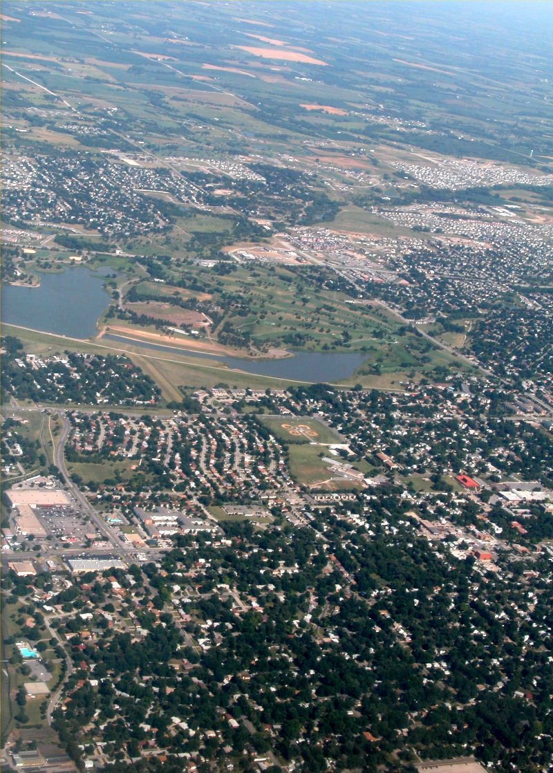
July 15,
2003 - Looking South: Holmes lake is in the center right of the image.
70th and
84th streets can be seen running north to south to the left of Homes Lake.
The white
in the left corner of the image is the wing of the aircraft.
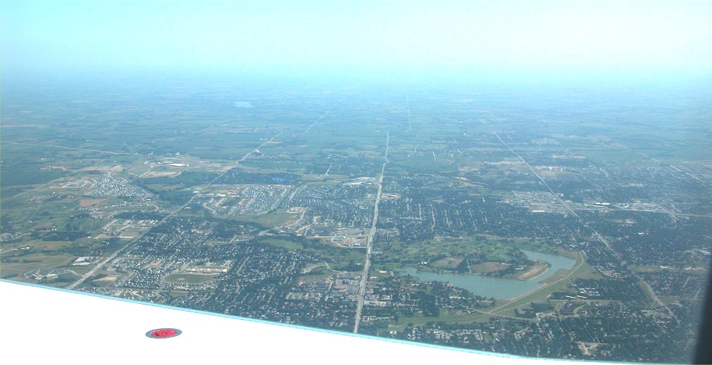
July 15,
2003 - Looking Southeast:
Holmes
Lake is in the center of the image.
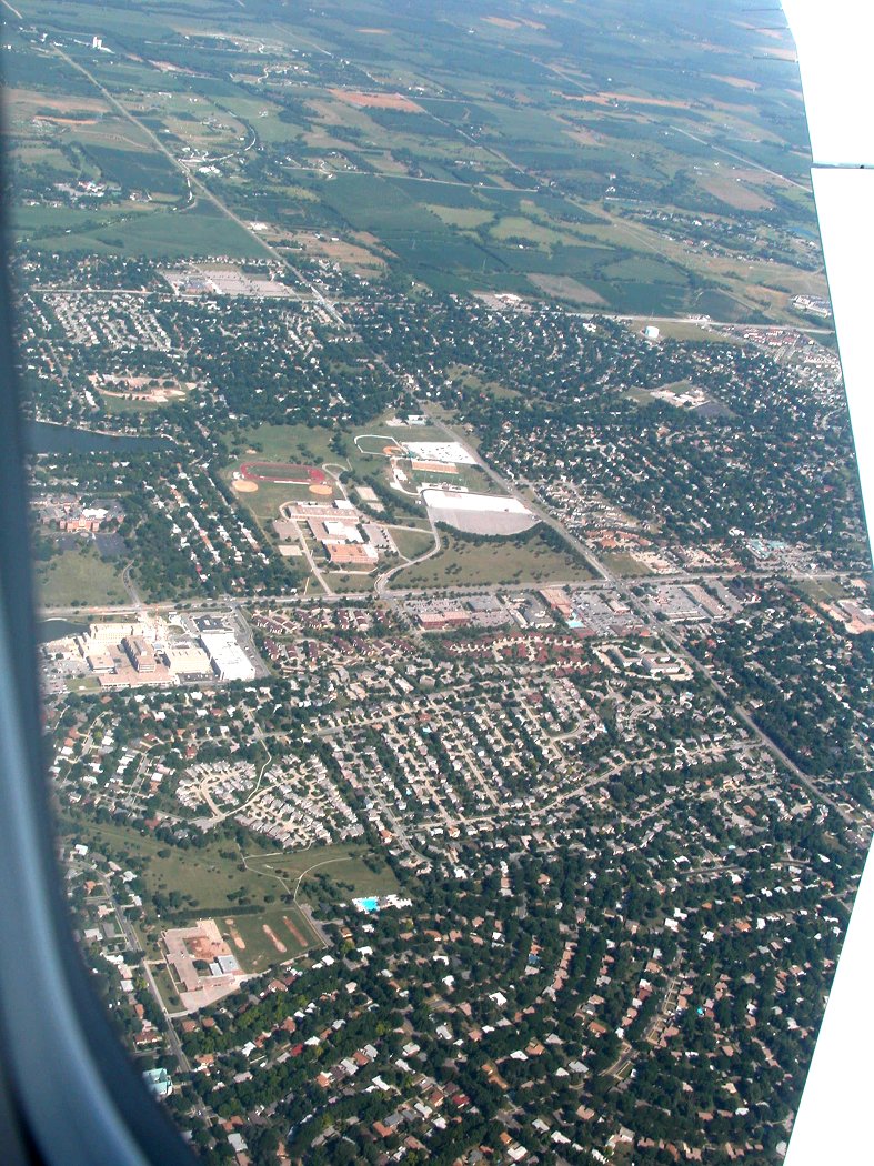
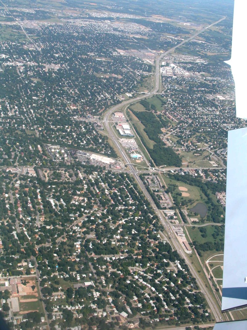
July 15,
2003 -Looking East:
Lincoln
East High School is in the center of the image.
70th Street
runs left to right (north to south) through the center of the image.
The window
of the plane partially obscures the image in the lower left corner and,
the white
along the right edge of the image is the wings of the plane.
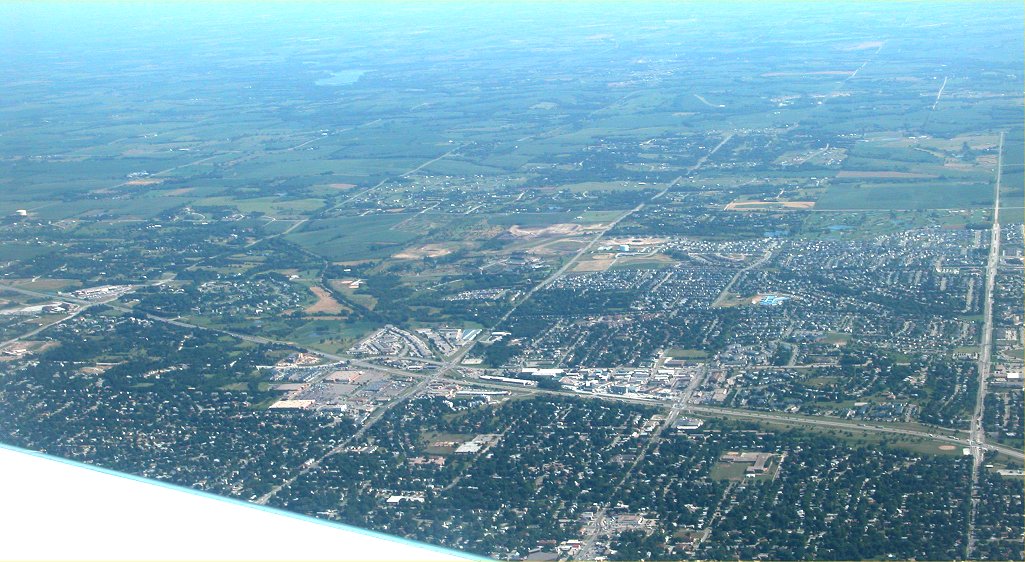
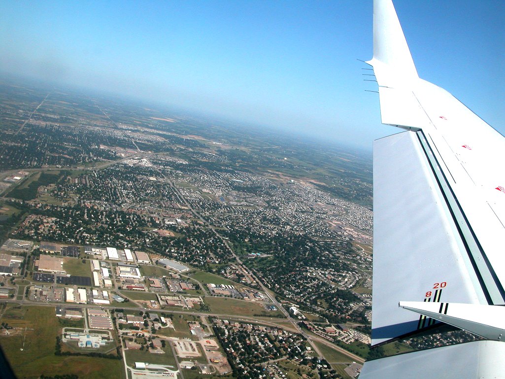
July 15,
2003 - Looking South/Southeast: The white in the left corner is the
wing of the aircraft.
40th Street
runs north south along the right edge of the image. Highway 2, 56th
Street Intersection is in the lower center of the image.
Home Depot
on 70th and Highway 2 is near the left center edge of the image.
July 15,
2003 - Looking Southeast:
Holmes
Lake is in the center of the image.
July 15,
2003 - Looking East:
Highway
2 runs from the upper right corner to the lower right corner of the
image
and the
water park at 28th and Highway 2 is in the center of the image.
The wing
flaps of the plane are visible on the right edge of the image.
July 15,
2003 - Looking East:
The industrial
park along Highway 77 is located in the left bottom of the image.
Old Cheney
Road runs west to east from the bottom of the image
(near the
wing of the aircraft) to the upper left corner.
ALL
Images © K. Dewey, School of Natural Resources, UNL.
Return to: The Photo Gallery Index Page