
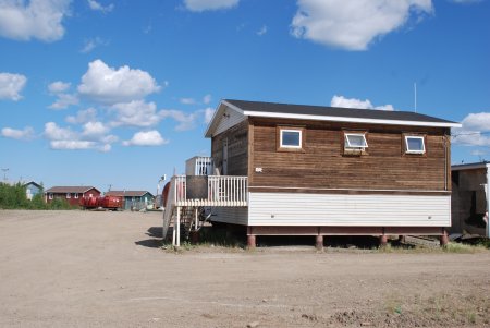
melting the permafrost
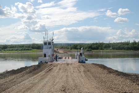
used to guide the ferry

The Dempster Highway (Southbound), Northwest Territories and Yukon Territory Canada - Summer 2008
ALL Photos © K. Dewey, School of Natural Resources, Applied Climate Sciences, UNL.
Photo Set Four
|
|
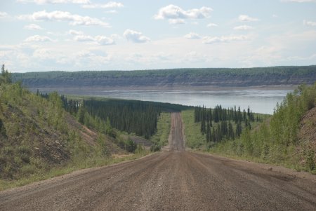
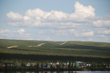
| Just outside Inuvik, NWT | Approaching the Mackenzie River |
|
|
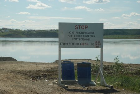
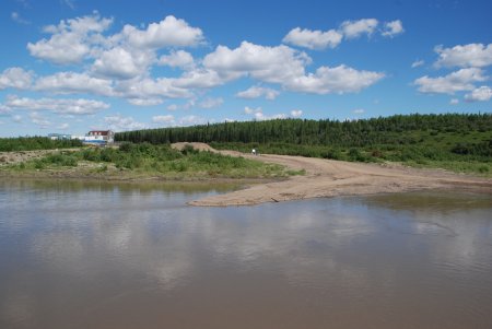
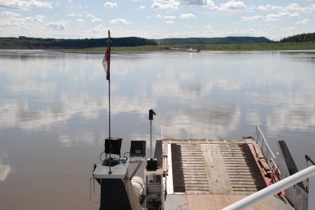
| The Ferry boarding site north shore | The view back to the north shore from mid-stream |
|
|
| The view from the pilots deck to the north shore | The view toward the south shore |
|
|
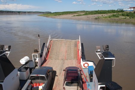
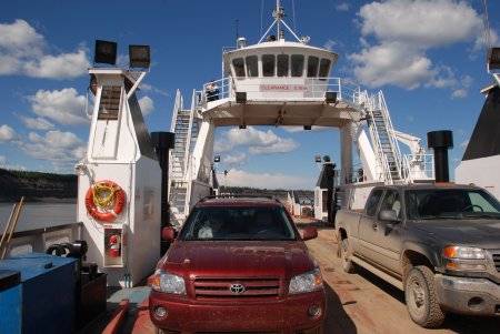
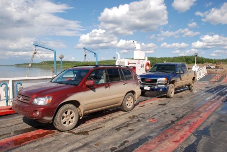
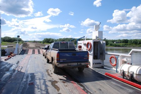
| There are only two small vehicles but it can carry large trucks | After arriving on the South Shore & looking back at the ferry |
|
|
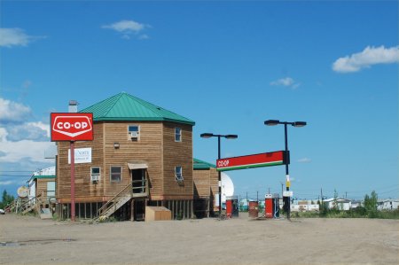
| Fort McPherson - note the building is on stilts | Fort McPherson house- note the stilts used to
avoid melting the permafrost |
|
|
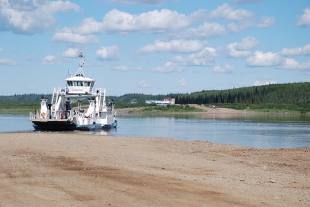
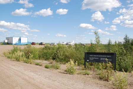
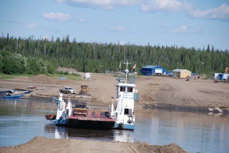
| Fort McPherson Airport. CLICK HERE for a larger image | Peel River Ferry crossing |
|
|
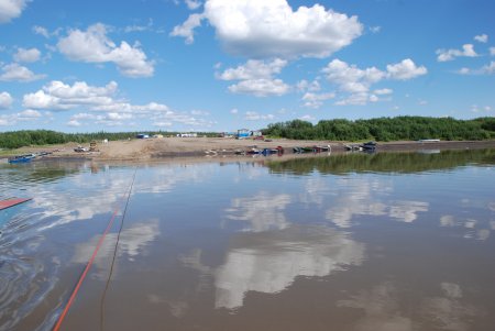
| Peel River Ferry crossing | Peel River Ferry crossing - note the red
cable which is used to guide the ferry |
|
|
| Peel River Ferry crossing | Peel River Ferry heading back to the other shore |
|
|
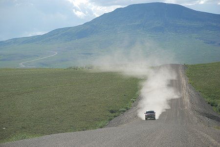
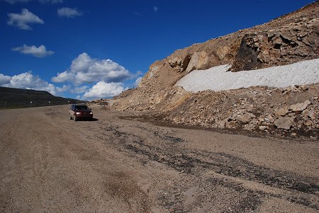
| Note the size of the rocks on the road. Keeping a distance from other vehicles was essential to avoid losing a windshield | Dempster Highway scenery |
|
|
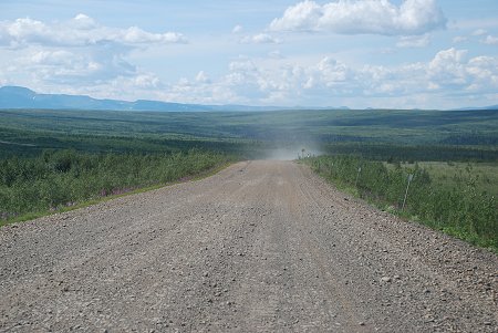
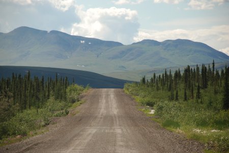
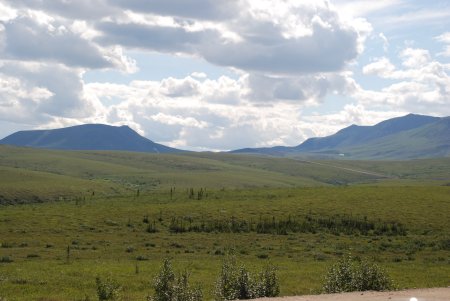
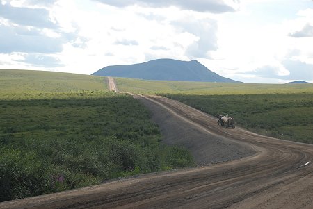
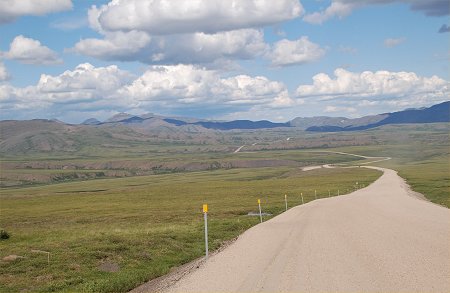
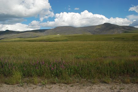
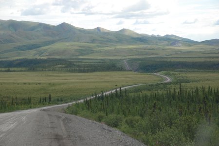
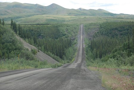
| Dempster Highway scenery | Dempster Highway scenery |
|
|
| Dempster Highway scenery | Melting permafrost has caused this sinkhole |
|
|
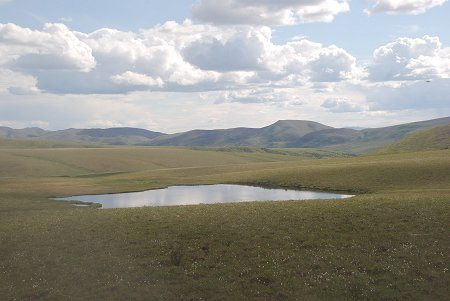
| Melting permafrost has caused a thaw lake | Dempster Highway scenery |
|
|
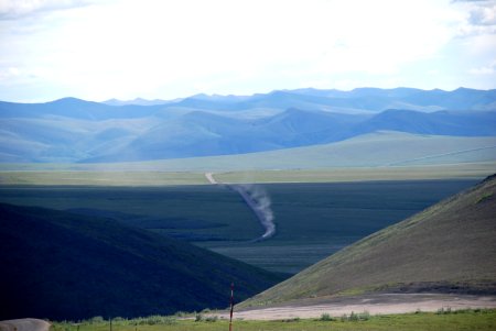
| Dempster Highway scenery: CLICK HERE for a larger image | Dempster Highway scenery |
|
|
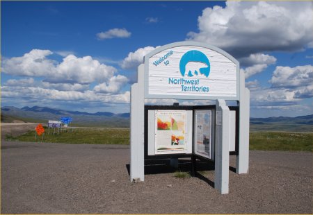
| At the NWT Border: CLICK HERE for a larger image | Dempster Highway scenery CLICK HERE for a larger image |
|
|
| Note the poor road condition and remaining winter snow | Dempster Highway scenery |
|
|
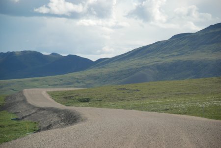
| Dempster Highway scenery | Dempster Highway scenery |