 |
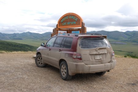 |
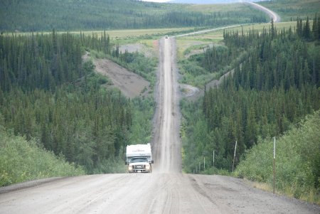
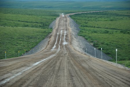
| The mid way point along the highway. |
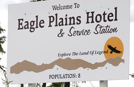
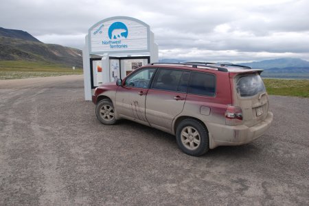
The Eagle Plains Hotel is located at the
Arctic Circle. |
 |
 |
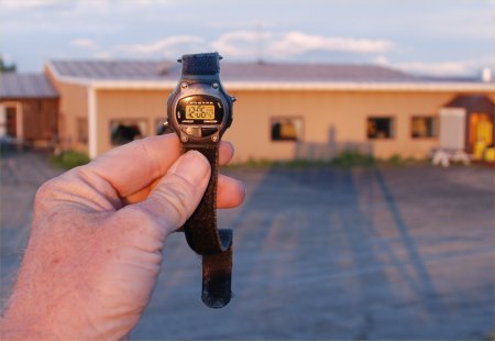
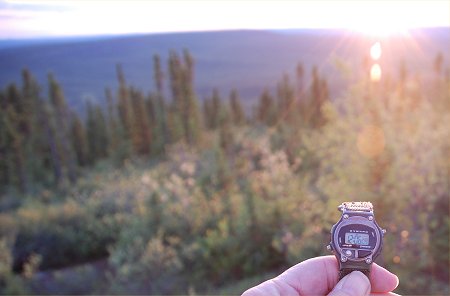
| Six minutes after Midnight and the sun is
still out |
A photogenic sky at midnight in the Arctic |
 |
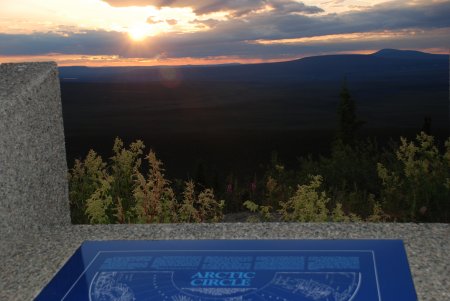 |
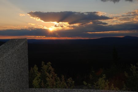
| Looking north at the midnight sun (six
minutes after midnight) |
Looking directly north from the Arctic Circle monument at
midnight |
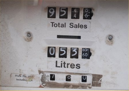 |
July 5, 2008: Eagle Plains, Yukon (Arctic
Circle) gas price.
$1.78 per liter = $7.12 for 4 liters. 4 liters = 1.06 gallons
converts to $6.72 per gallon (Canadian $)
converts to $6.86 per gallon (U.S. $)
conversion rate as of July 5, 2008
Total purchase = $95.46 |
 |
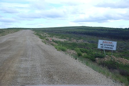 |
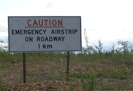
| The Dempster Highway is also an emergency
airstrip |
|
 |
 |
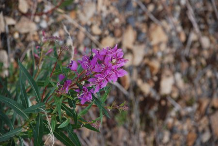
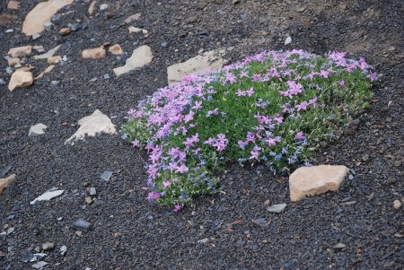
| Arctic tundra flowers |
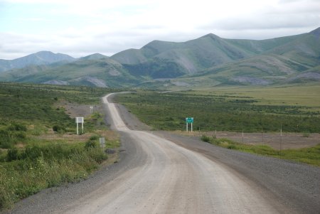
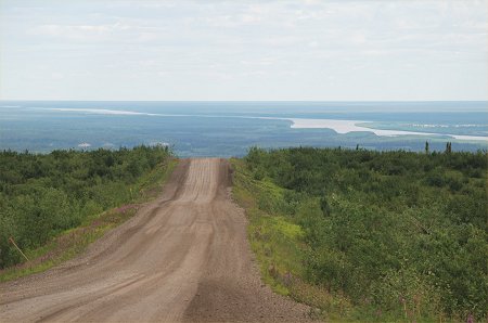
The Highway winds north toward the Northwest
Territories border |
 |
 |
| This is a favorite Caribou crossing in May
and September |
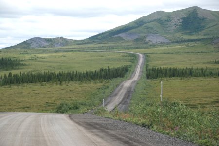
The road is actually quite smooth through
here |
 |
 |
| Some Arctic Tundra flowers along the Dempster
Highway |
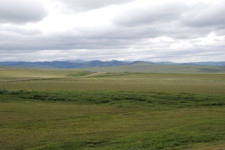
The deserted Tundra stretches off to the
horizon |
 |
 |
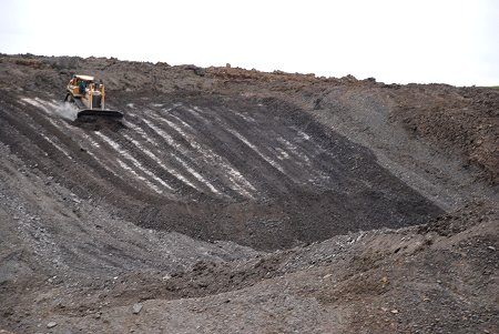
| The white appearing just below the surface is
permafrost |
at the Northwest Territories Border |
 |
 |
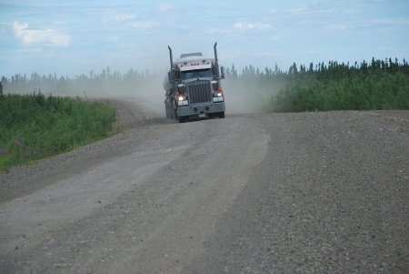
The truck traffic caused us to frequently
pull over to the
side to avoid the flying rocks |
Click here for a much larger version
Note the thick gravel base to avoid melting of the permafrost |
 |
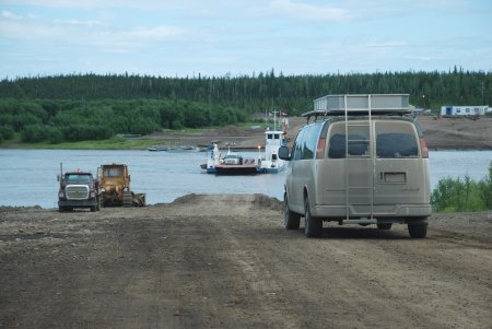 |
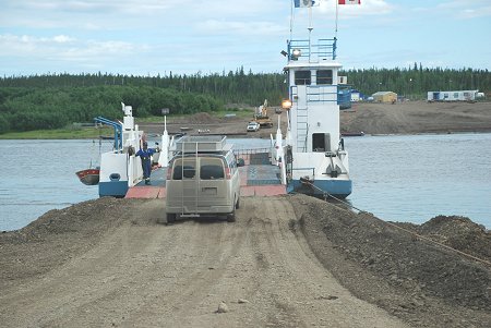
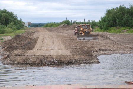
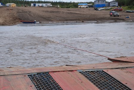
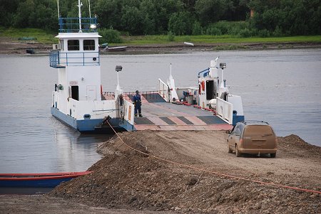
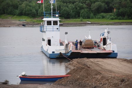
| The Peel River and the first ferry crossing
is in the distance |
|
 |
 |
| |
|
 |
 |
| |
|
 |
|
| |
|
| |
|
| |
|